

Here it is, the final section of the Stockholm part of Upplandsleden! It took me a while to get to this one as I wasn’t feeling well and had injured something in my foot. I went out and did it anyway, which made it a bit of a slog for me – looking at the photos, it was a more lovely area than I remembered.
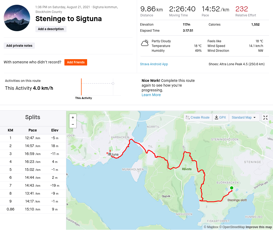
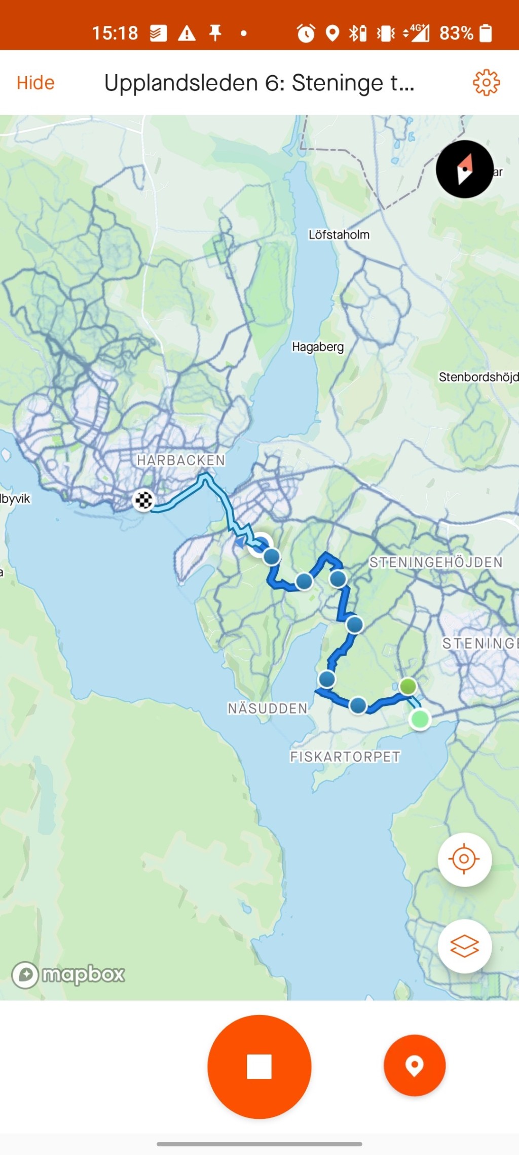
Here’s the Strava trip overview – and here’s the route itself on Strava:
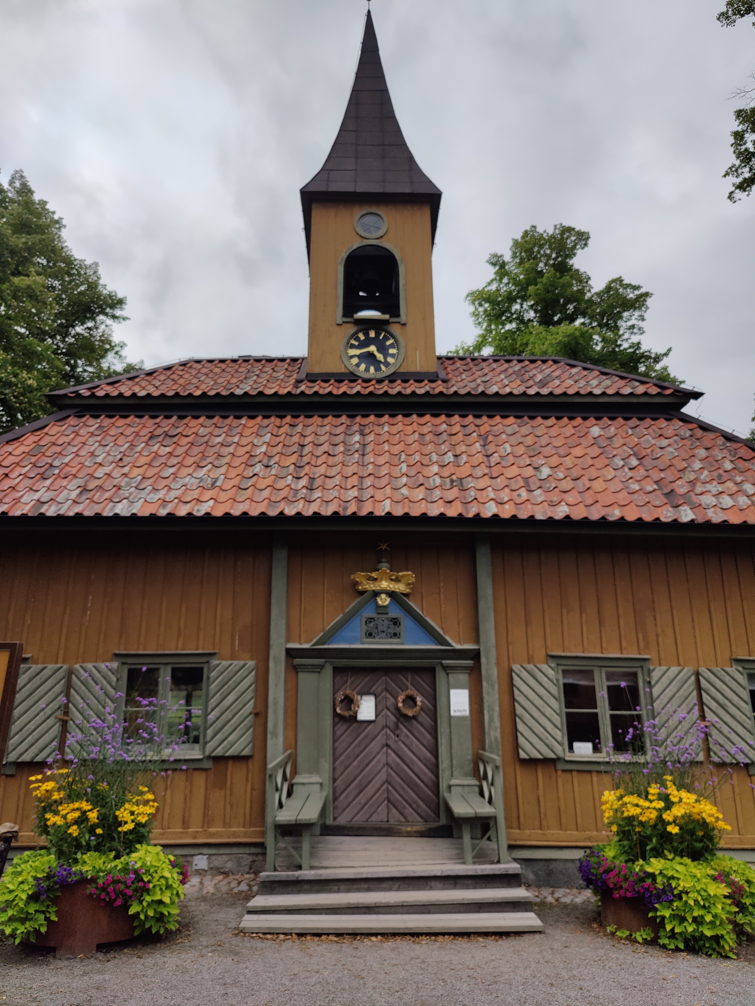
Today’s route starts at Steninge Slottsby which has a big parking area. I took a minute to check out the palace:
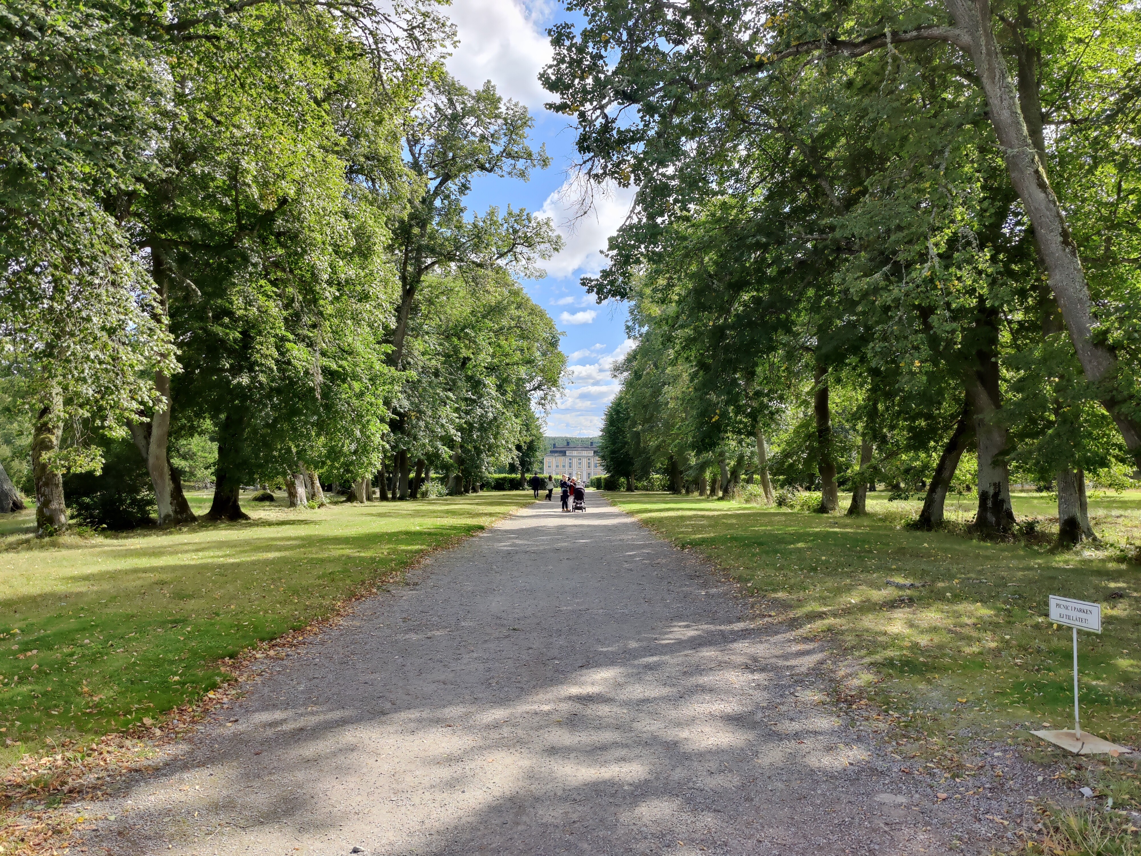
Pick up Upplandsleden by walking over the castle iron fencing and walking parallel to it. You’ll spot the first orange markers about 20-30 meters past the palace gates.

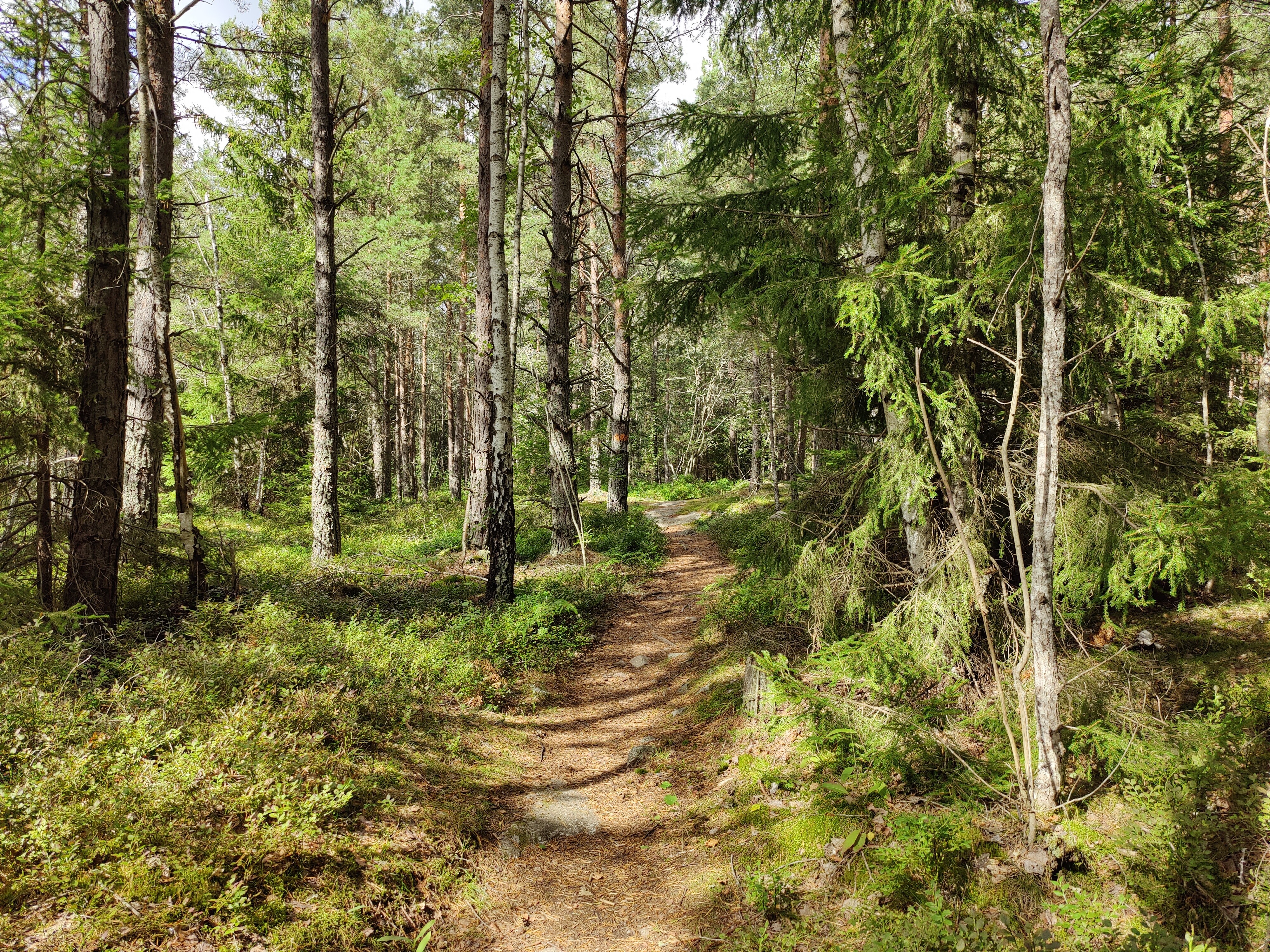
The path starts out along a paved road and heads through farmland.

There are a number of turn-offs for other paths, but then the orange marker shows the way and it heads into the woods.
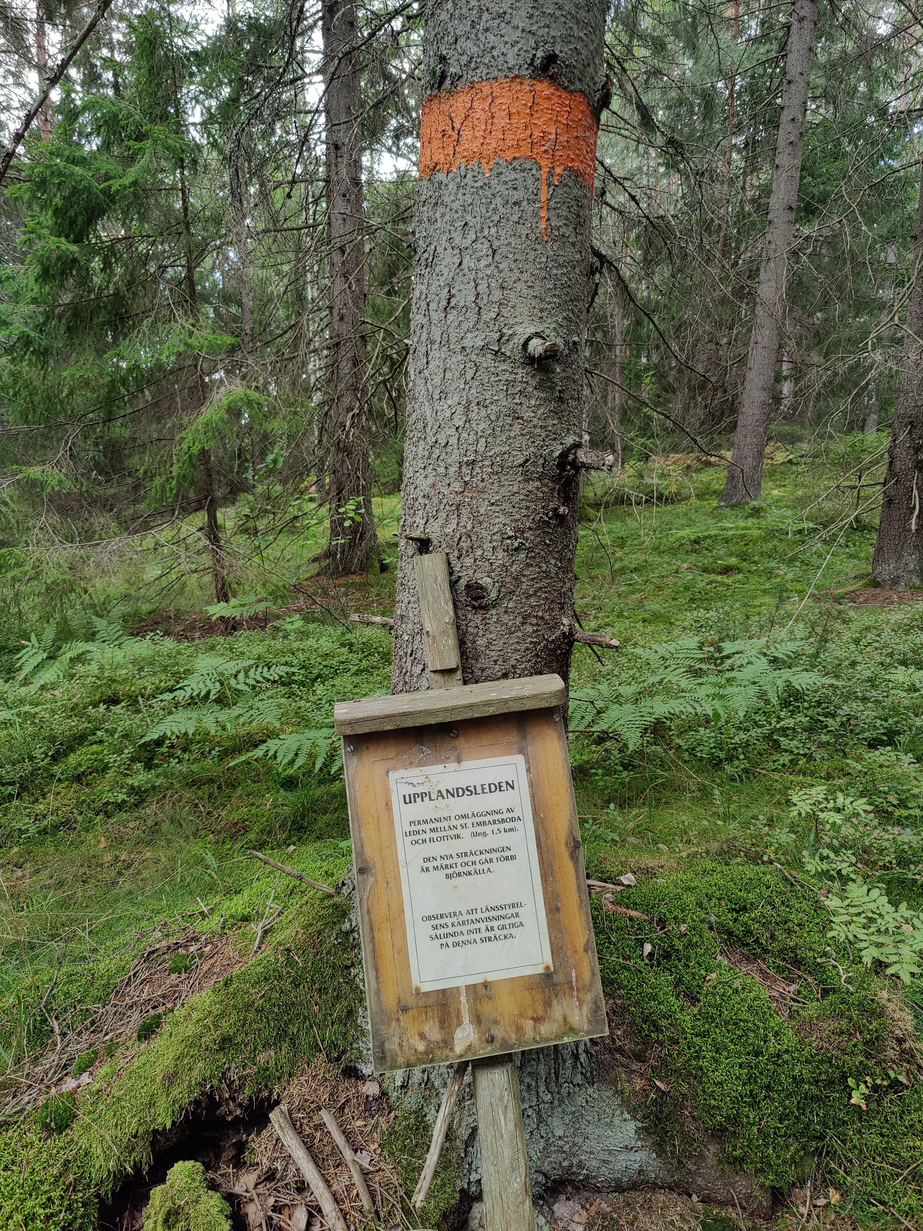
There’s a sign noting permanent changes to the path – but on checking my information, it seems like my routes have already incorporated the changes. It’s something to keep an eye on for the rest of the section.
This section of Upplandsleden is quite varied and the path cuts through a field. At least, my map matches the direction of these tire tracks, so I follow them and it all works out. You can see the clouds rolling in here – it’s not supposed to rain, but you never know. :fingers-crossed:

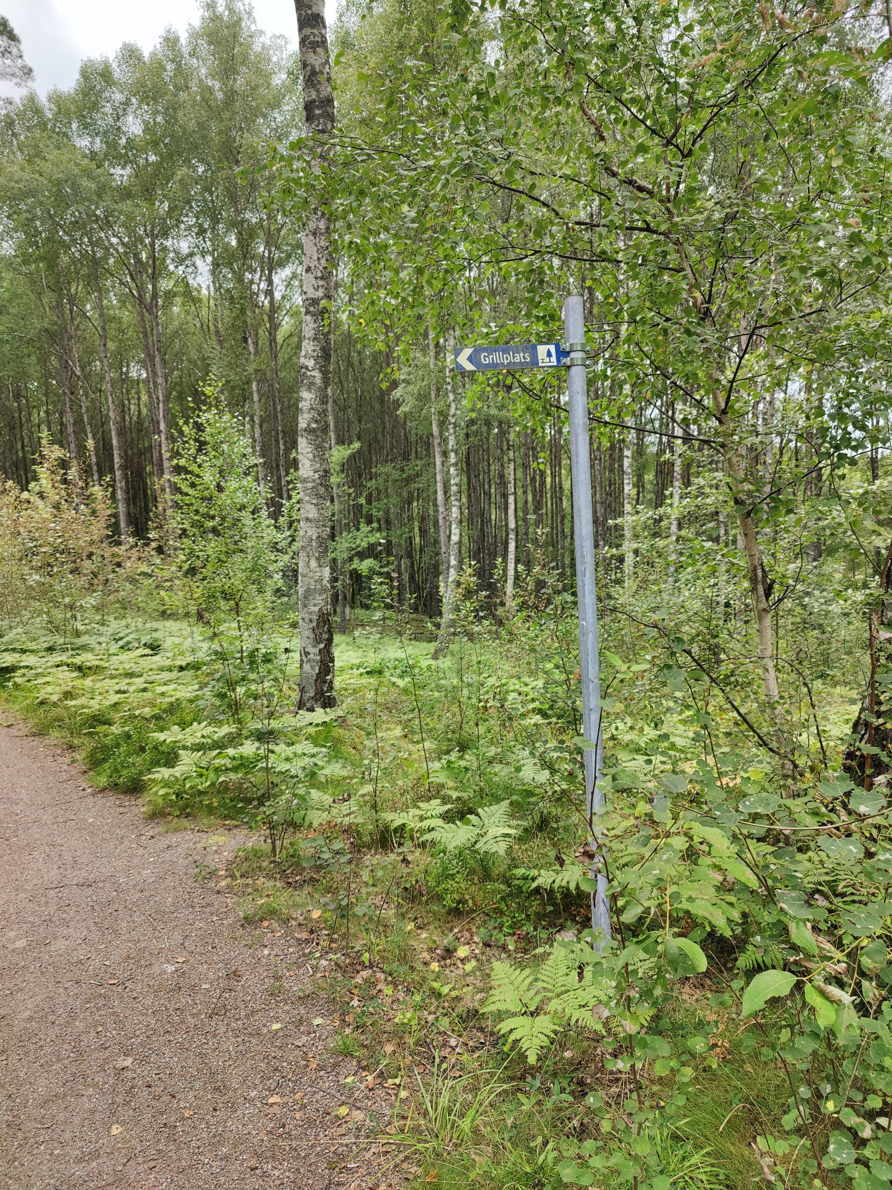
I’d noted this location with a grill as a good spot for lunch – it’s just off the road and a parking lot. However, it was already taken and I didn’t feel like sharing, so kept walking.
I’d finished the audio book that was I listening to, a Streetcar Named Desire. I had thought it was a musical and instead it was quite a heavy story – well done, but heavy going. At this point, I switched to upbeat 80s music and something about St. Elmo’s Fire by John Parr had me bouncing along the trail.
Something about these lines resonated:
I can see a new horizon
St. Elmo’s Fire
Underneath the blazin’ sky
I’ll be where the eagle’s flyin’
Higher and higher
The electric guitar definitely helped, too. 🙂 I should probably watch the movie and find out what it’s about.
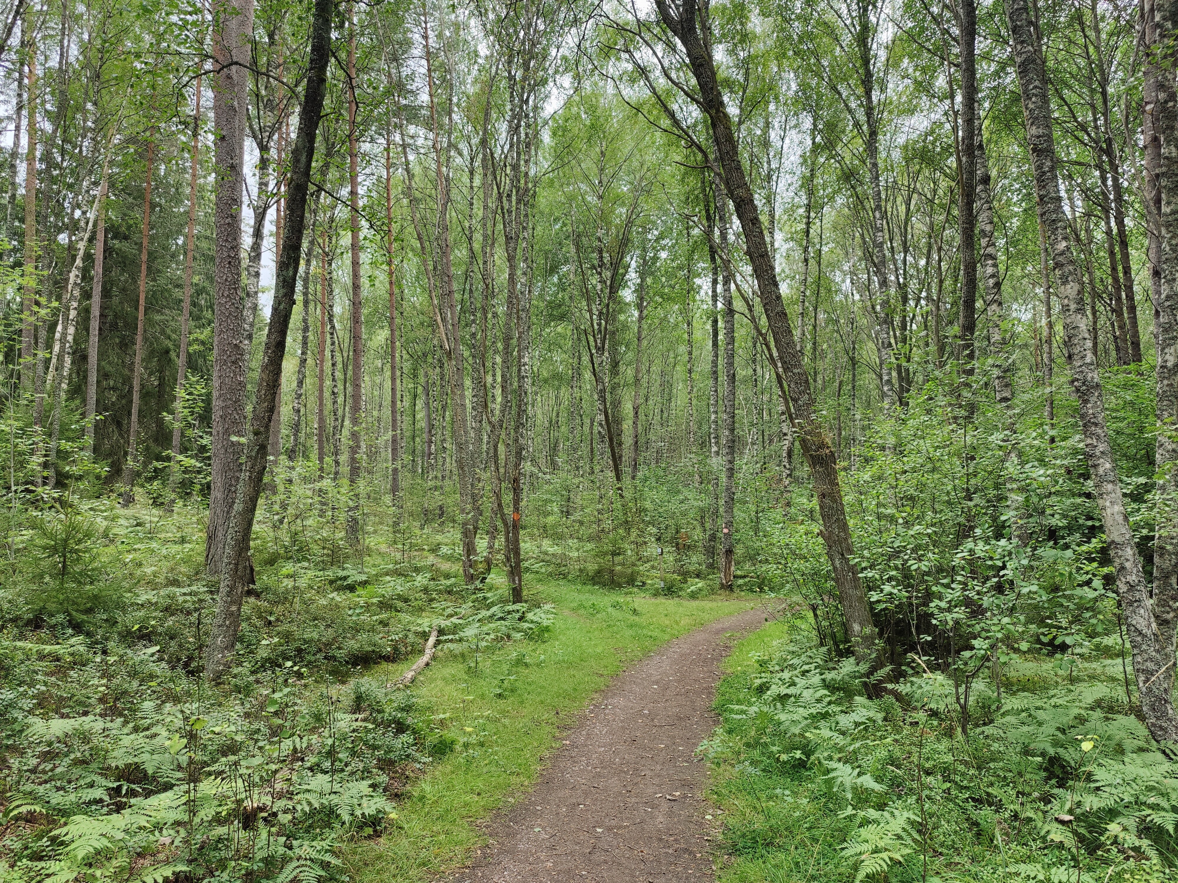
It was like walking through a green tunnel – it smelled good and the mosquitos weren’t too bad.
I relied on the Strava routes for so much of the six sections – it was helpful to be able to look at the route and see where I should go. I realize that I should probably be better with a map and a compass, but this is easier and more accessible in areas where coverage is good.
Coming into Sigtuna, the dirt paths have disappeared and we’re now on pavement again. This is where the official Upplandsleden branches off and continues north – the latest information I have is that you can’t make it all the way to Knivsta any longer due to closed off sections. I’ve chosen to end my route in downtown Sigtuna but there’s a pang of the road not taken when seeing the road heading north.

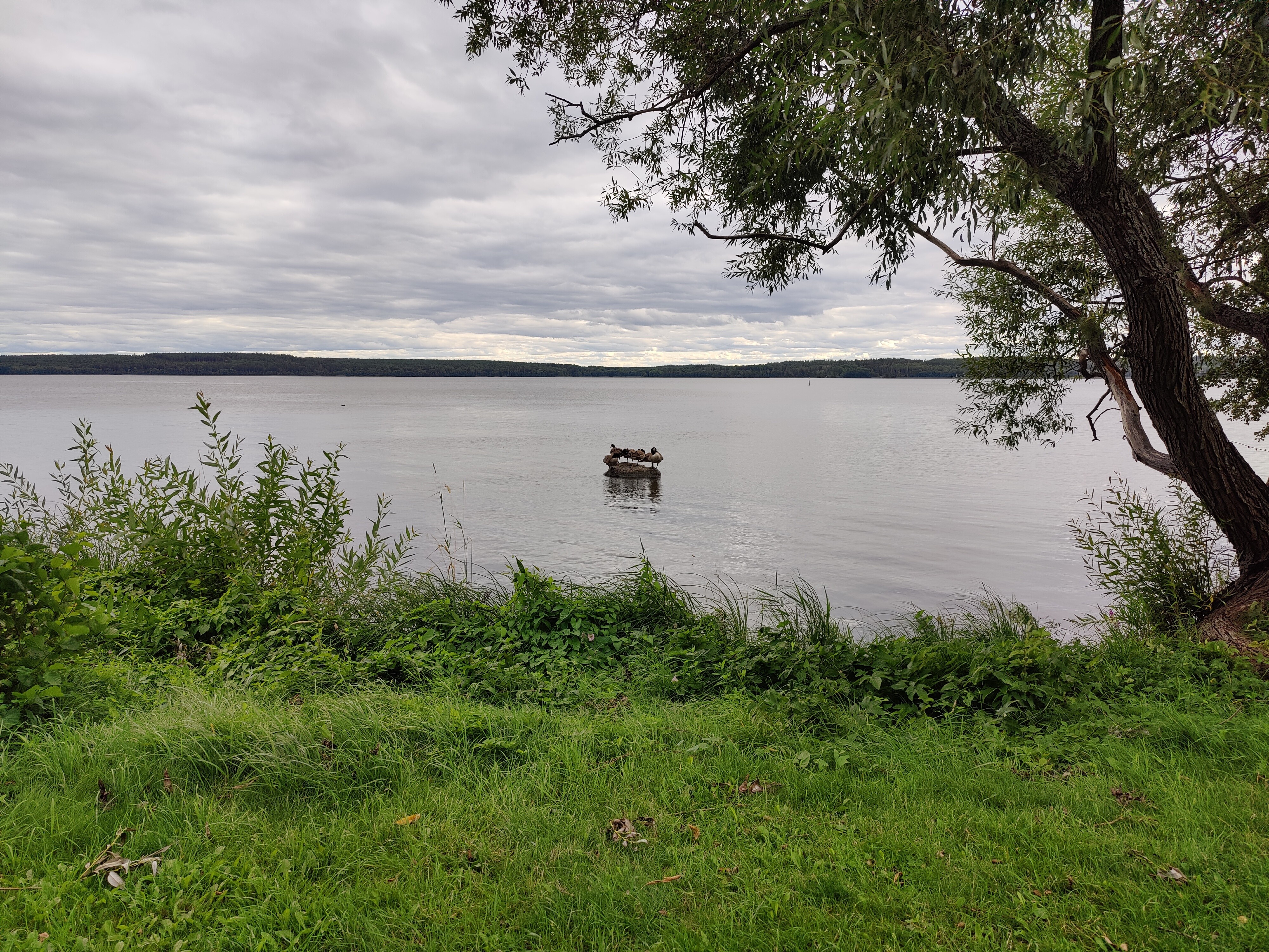
The path continues along the water. I spotted this group of geese all trying to perch on a rock. A few steps further on, I heard squawking – I think they ran out of space.
This section has plenty of grass between the water and the path – it was a good place to stop for lunch. I was grateful that I’d brought along long pants and a sweatshirt as the temperature was dropping. Still no rain, though!
And then suddenly I was in Sigtuna proper! I took time to wander around a little bit, as I haven’t spent much time in Sigtuna. It’s a lovely little town (officially a city) and considered one of the oldest cities in Sweden.


I need to come back and explore it properly at some point – there’s a lot of interesting history here.
There’s plenty of parking around Sigtuna, but I’ve found the parking lot on Stora Malmgatan one of the easiest to get in and out of.
This concludes part six and the end of the Upplandsleden (Stockholm) trip! See Upplandsleden route info (Stockholm) for the full overview. Thank you for joining me for six mil or 60+ km of wandering through the Swedish countryside!

[…] Trip details: Saturday 21 August 2021 […]
LikeLike