

Working through the backlog as I actually did this walk on 11 August 2021. I waited until the rain stopped, then tackled this section – I was particularly looking forward to it, as it starts on the edge of familiar territory and then heads out into the unknown.
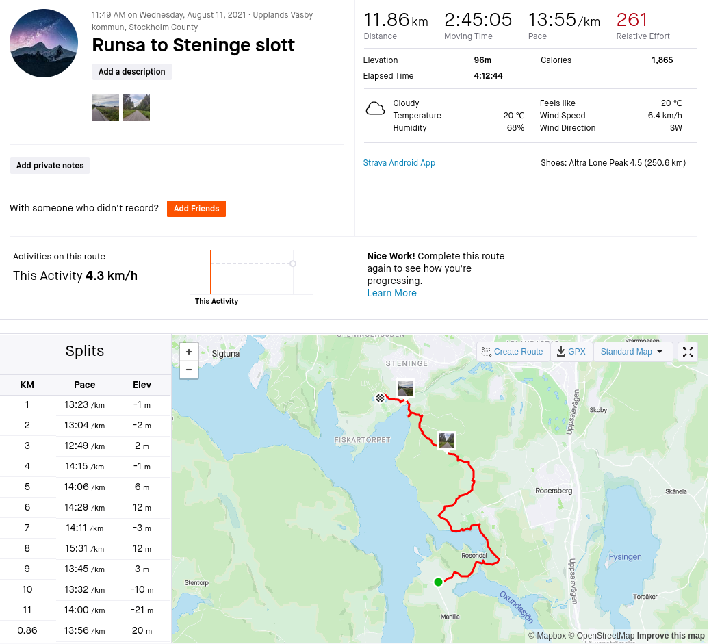
Here’s the Strava trip overview – and here’s the route itself on Strava:
There’s a small parking lot just off to the left before the road closes for regular traffic – this is where today’s adventure begins, and also where you’d want to park to explore Runsaborg (Strava map). You start off by heading left out of the parking lot and onto this little road.
You do want to head up to Runsaborg, watch carefully for the sign pointing out the path to the left.

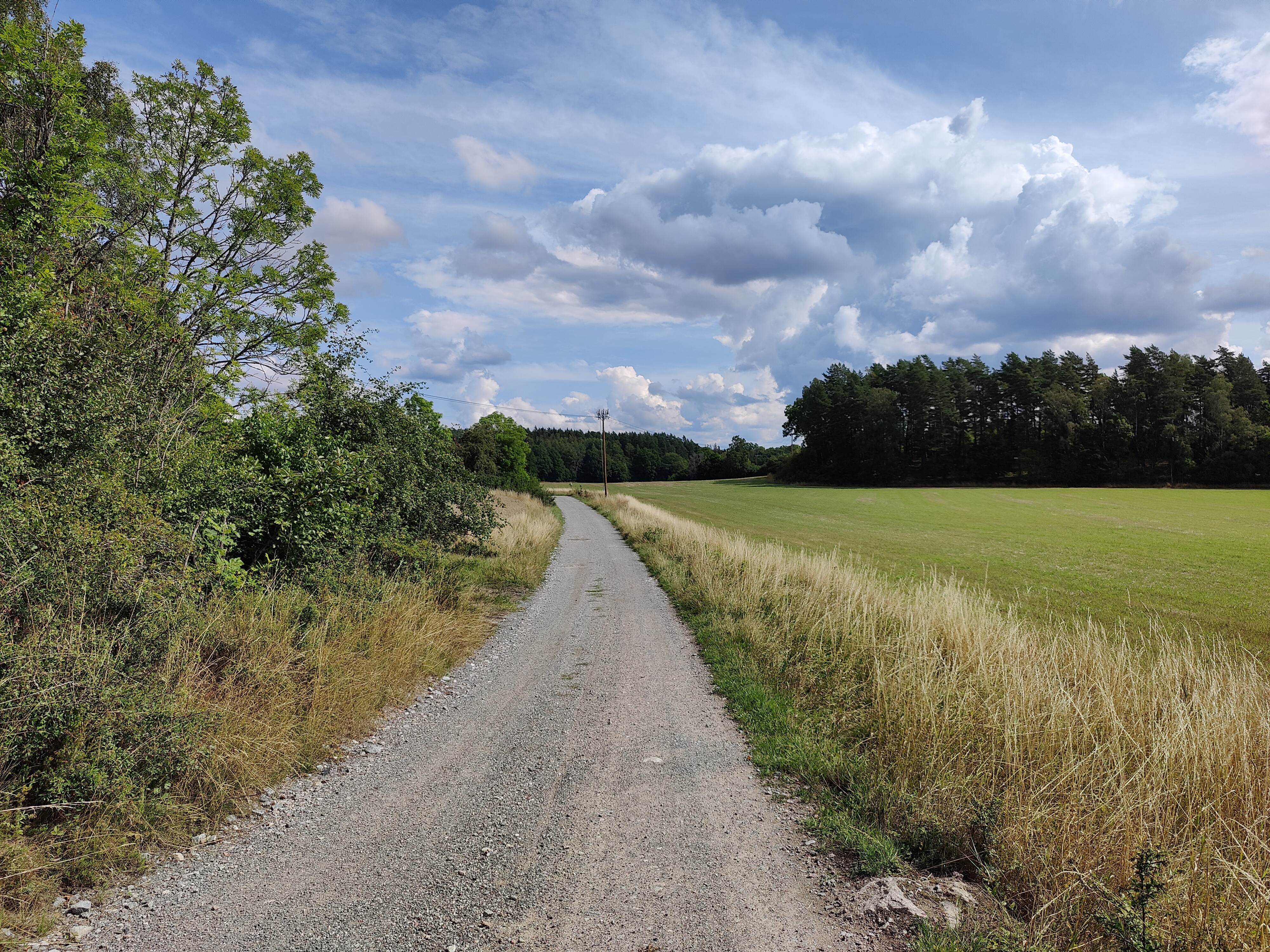
You’ll follow this dirt road for quite some time, though forest and farmland.
I don’t know why, but there are very few photos of this section. Not pictured is the pair of chatty Swedes who wanted to discuss enjoyment of Swedish outdoor life and global warming – this is the only people who actually wanted to talk on the entire trip. For most, it was a friendly nod and maybe a “hej!”.

It’s a lovely day to be outside and the path is well maintained.

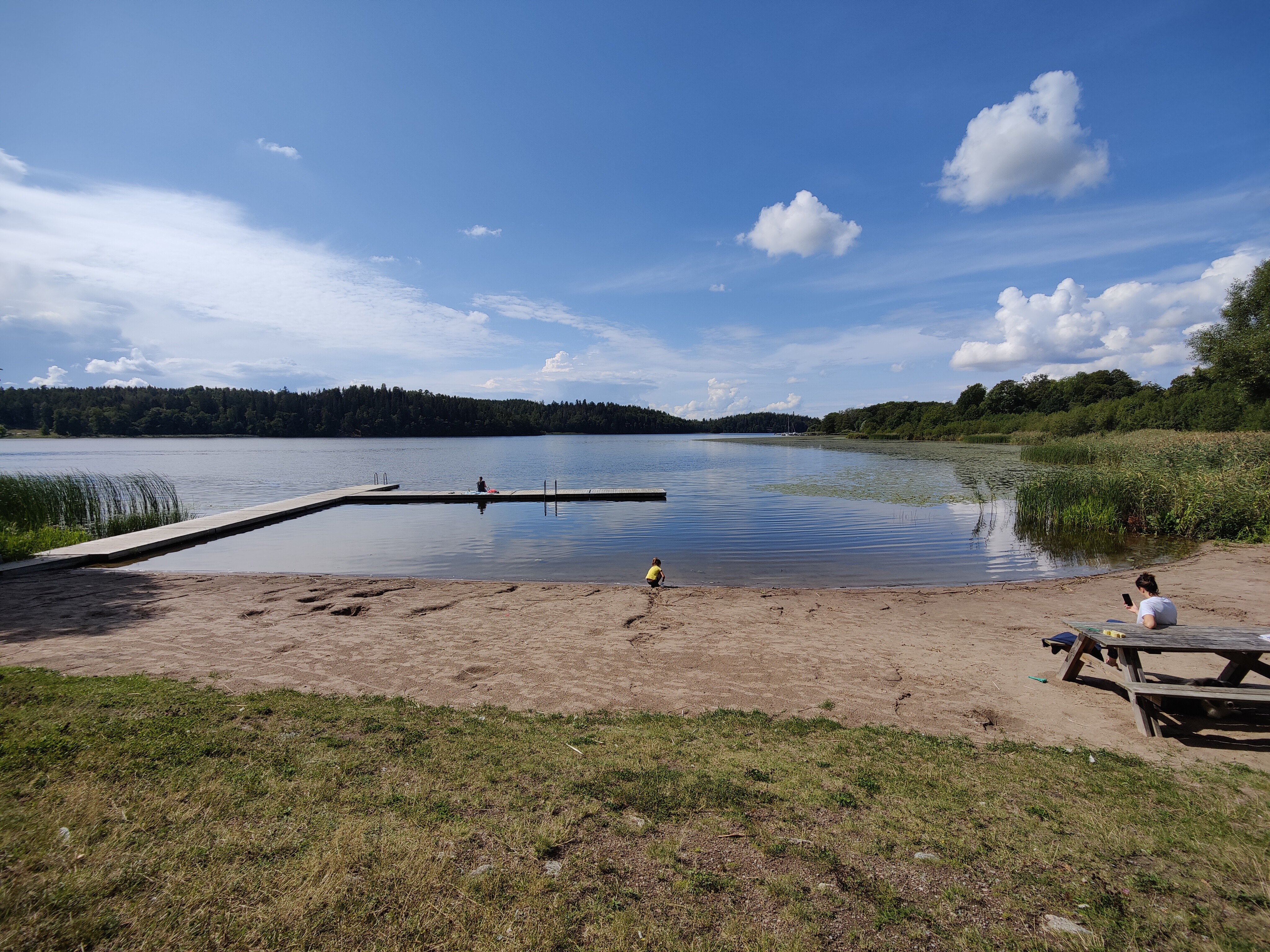
And then suddenly I was at a beach that I had no idea even existed. This is Rosersbergsbadet , tucked into a little inlet of Mälaren. The trail comes out at one end, then continues into a small parking lot on the other end. Potentially a good spot for lunch and a swim, but I want to make more distance first.
The path branches off from the road to cut across a field. This starts okay but quickly gets overgrown – I checked for ticks and was relieved to not find any.

This little path comes out on the grounds of Rosersbergs Slott – the paths are wide and the trees are big and spread out.

Upplandsleden overlaps here with Ingegerdsleden, a pilgrimage route from Storkyrkan in Stockholm to the Uppsala Cathedral over 110 km.

The route goes right past Rosersbergs slott itself and has lots of nice spots for a picnic.
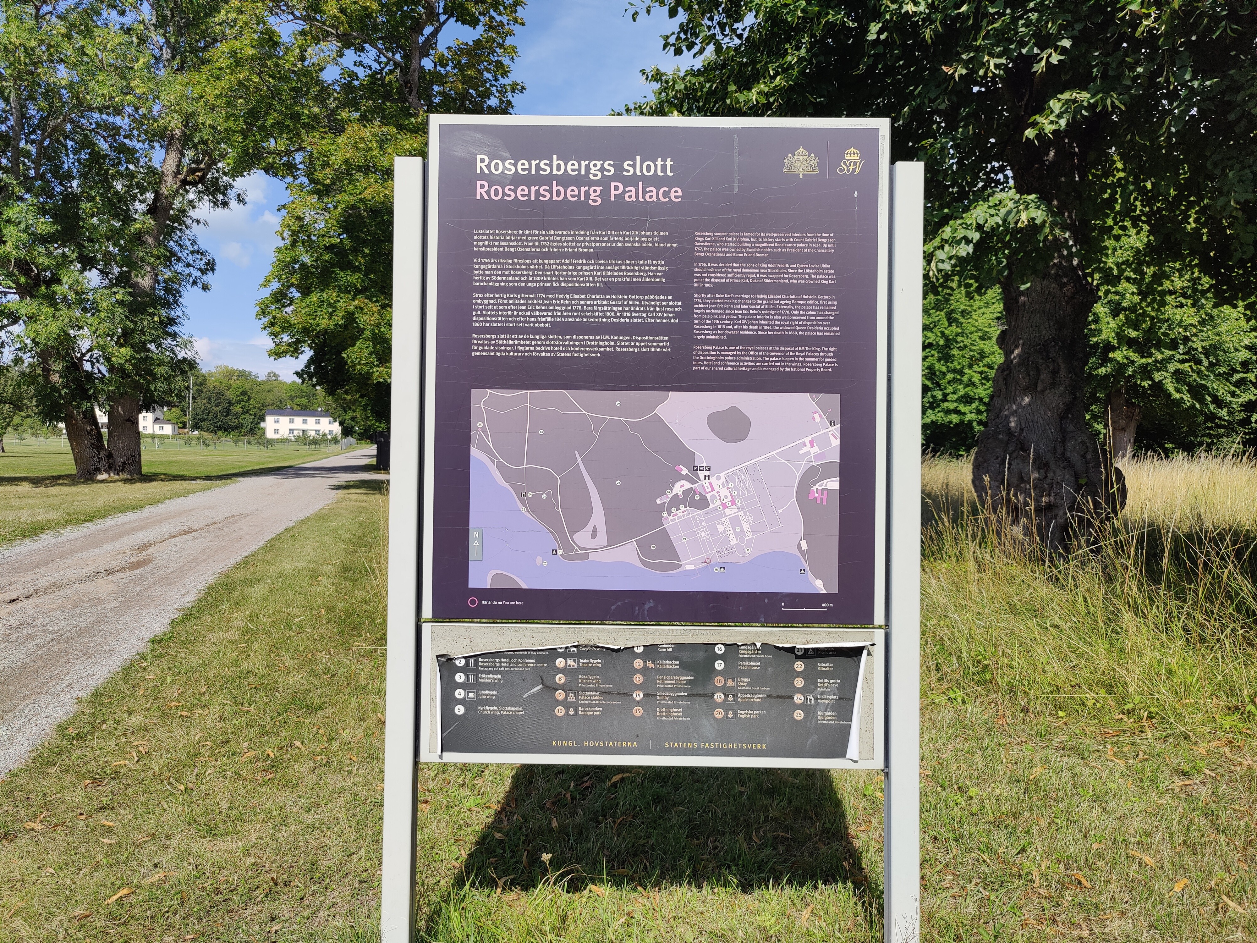
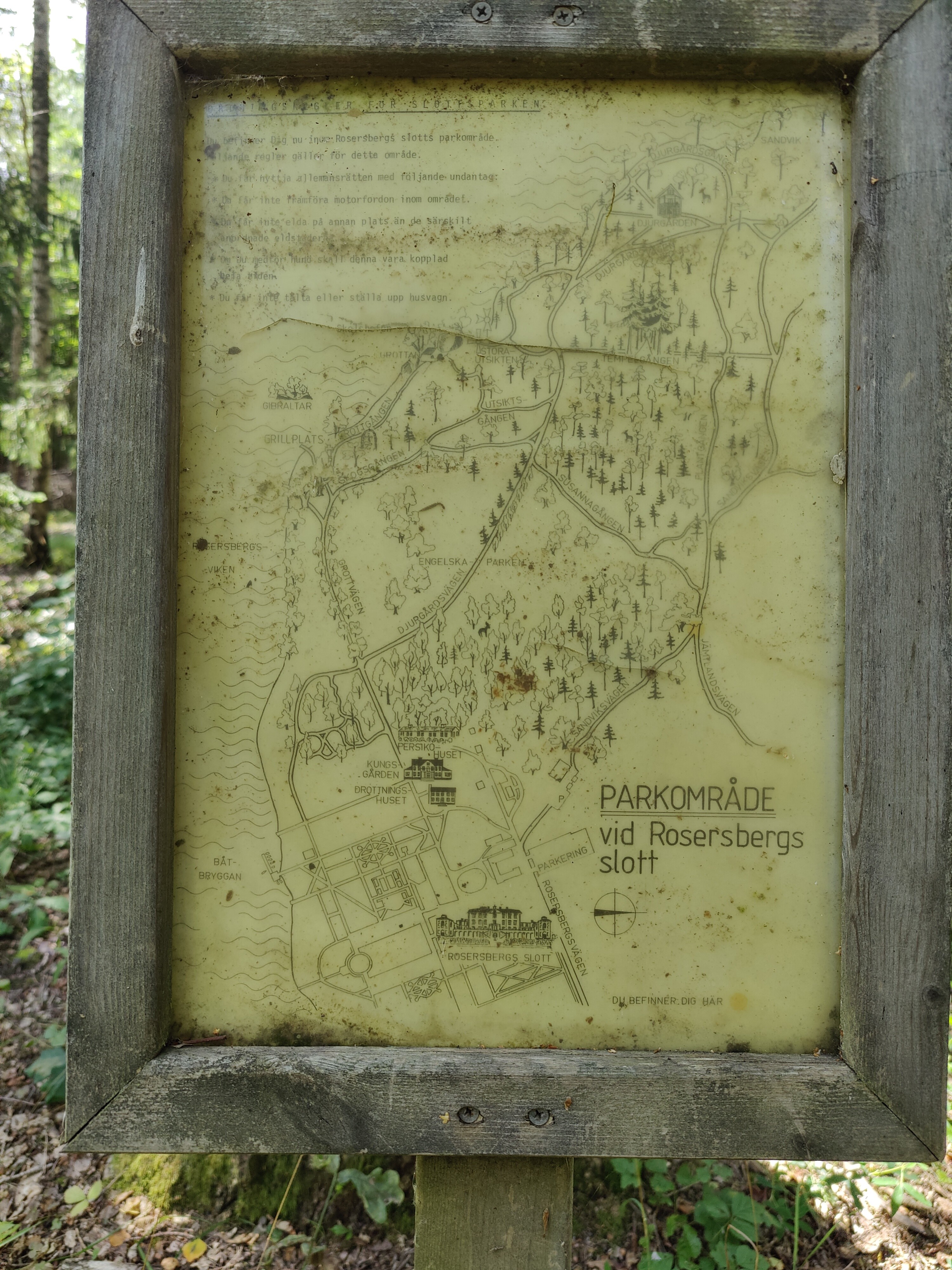
The path follows the water, looping around the castle. The signage is excellent and I even found this old sign – I think that map is hand-drawn.
Every time I’ve been here, cattle have been grazing in the big fields across from the main buildings. Here’s a view across the field towards Rosersbergs Slott.

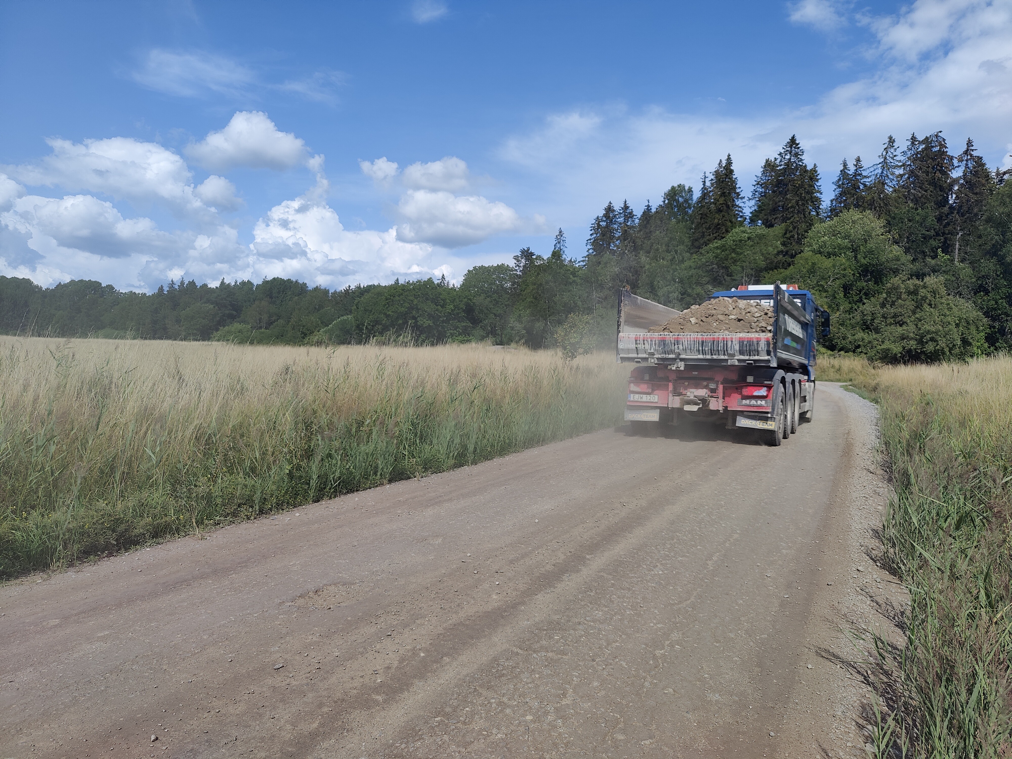
The path comes out on a dirt road, which is fine. The problem was the dump trucks driving past every few minutes. It was hard to find a place to get off the road safely and the dust was incredible. This lasted for about three km.
The road came out by Rosersbergs Skytteförenging, or shooting club. The construction work seemed to be on an new outdoor range. All well and good, though I startled when I heard gun shots – at least I heard them after realizing where I was!
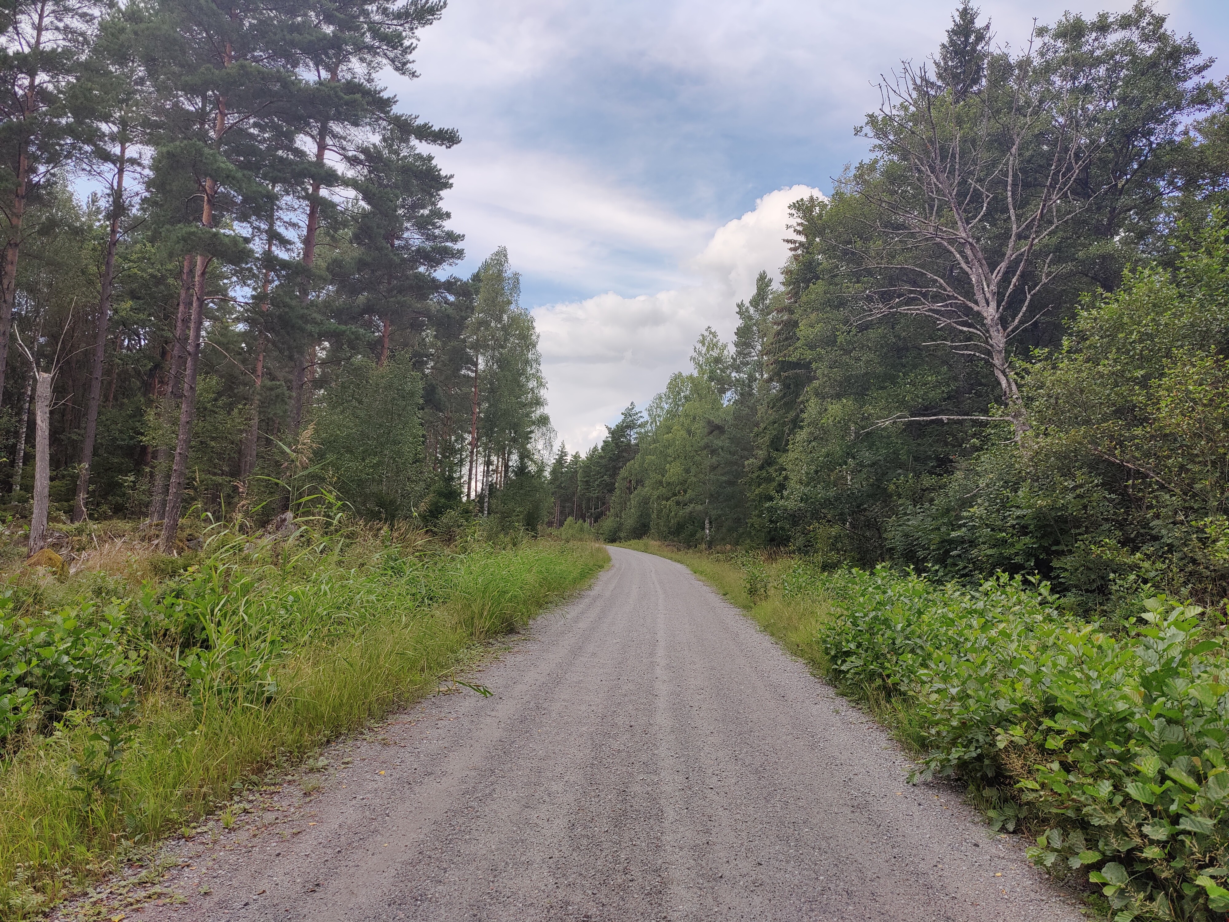
Upplandsleden continued on to a dirt road behind the club – I’d call this a fire road, though I’m not sure if that’s the correct equivalent in Swedish. It mostly seemed to be a connection between two places that wasn’t used much but was kept clear in case of emergency. It was a long, boring stretch of multiple kilometers, but at least it was easy walking.
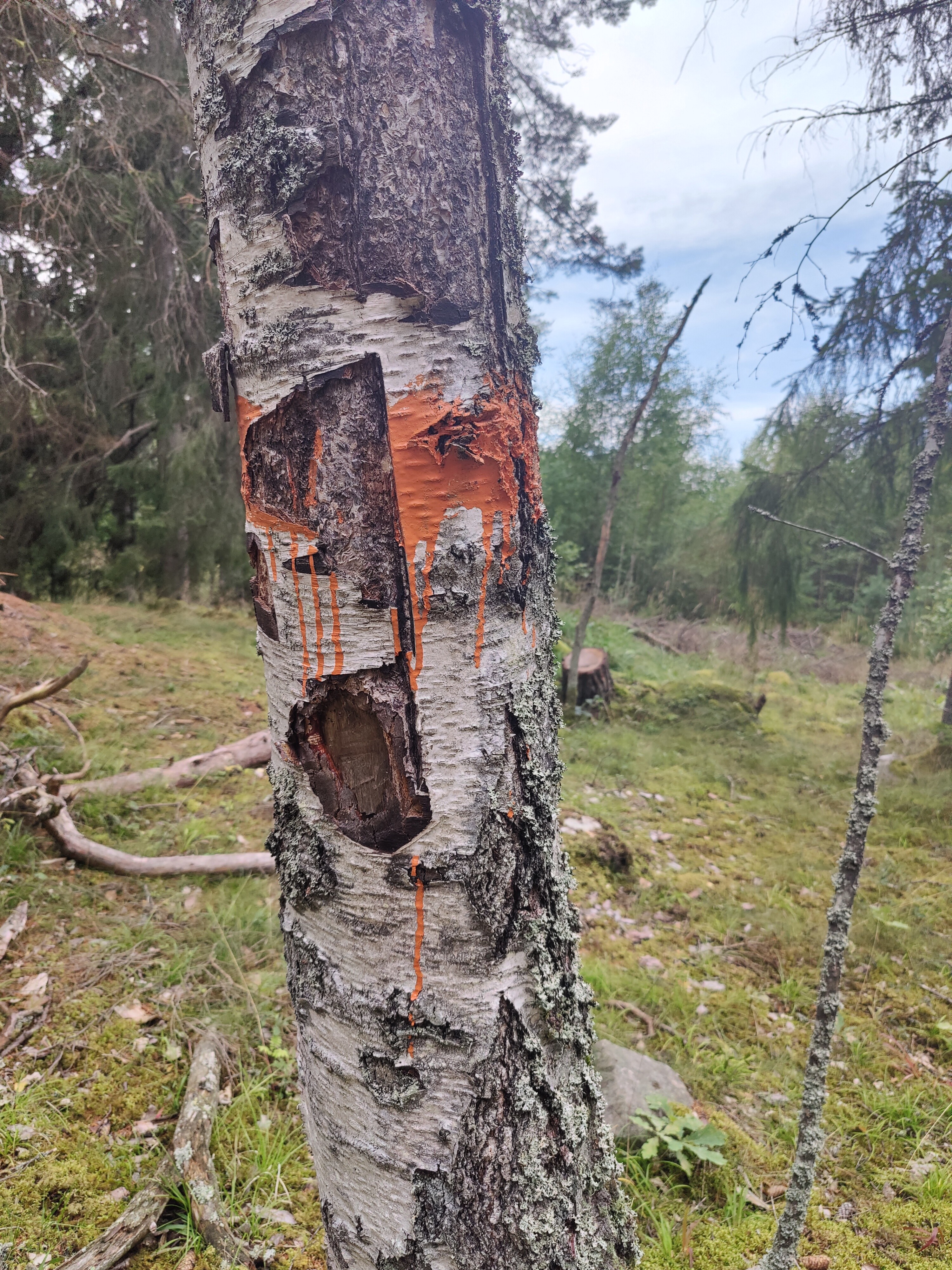
The orange markers continue, especially once we branch back off onto a path. At this point, I was bored enough to be making up horror stories about how this paint was splashed on the tree.
And then suddenly the path opens up onto Steningebadet. It was a lovely, big area with brand new picnic tables – a wonderful place to have lunch, stick my feet in the water, etc.

With only a few kilometers to go, I followed the path out to the parking lot (paved and wheelchair accessible!) and headed left on the main road towards Steninge Slott. The road curves up to the right and then goes up a big hill towards an area under active development – Steningehöjden (Steninge Heights).

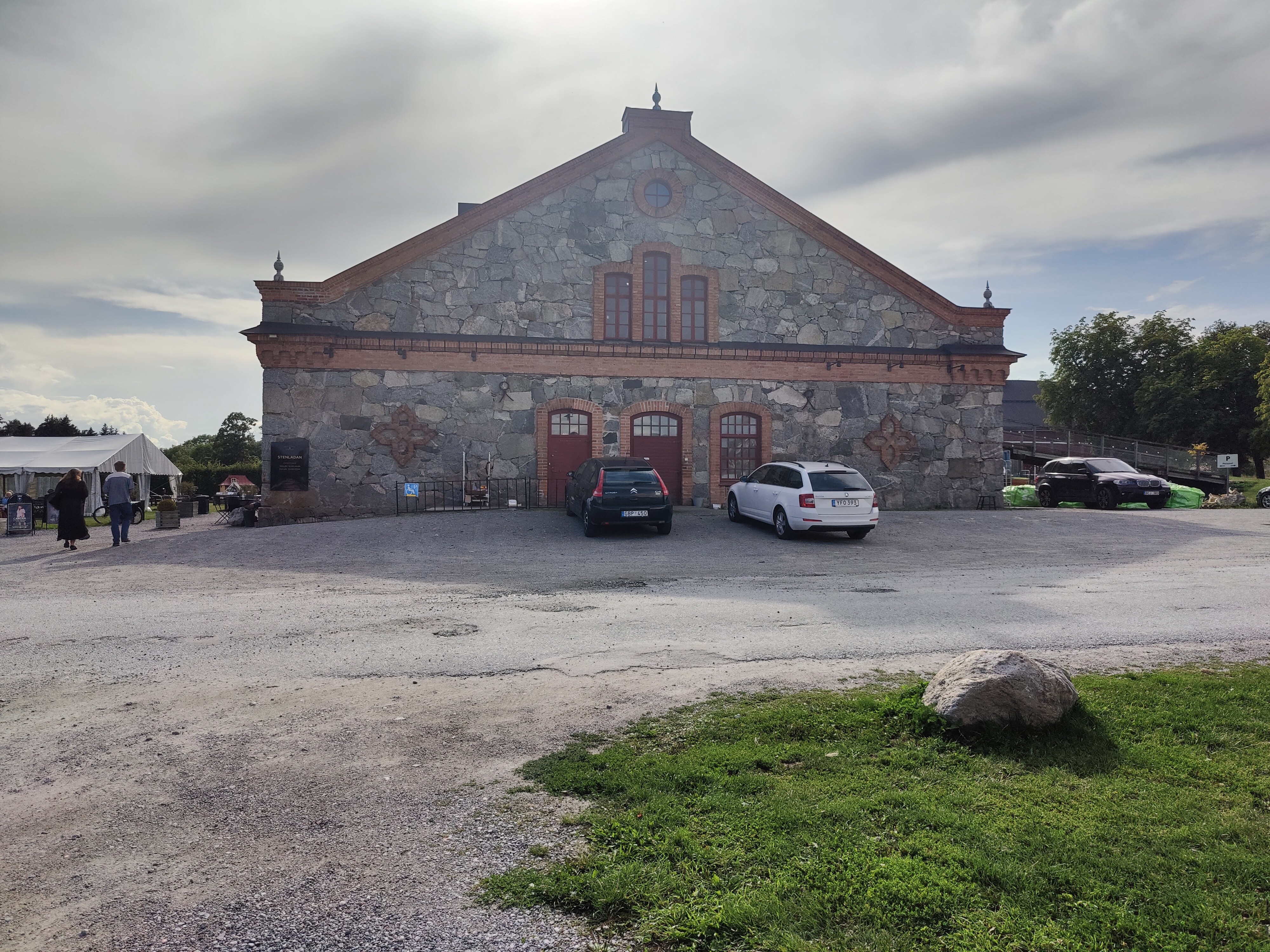
Today’s section ends outside of Steninge slottsby which the old soldiers’ barracks for the palace. It has a nice big parking lot, a restaurant, place to sit outside, etc. I quite happily flopped on the grass to stretch.
If you’d like to see the Steninge Slott itself, you can walk to the left, past the barracks, and walk through the iron gates – the grounds are open during certain hours of the day.

Thus concludes part five of the Upplandsleden (Stockholm) trip! See Upplandsleden route info (Stockholm) for the full overview.

[…] Trip details: Tuesday 11 August 2021 […]
LikeLike