

I was so enthusiastic about keeping up the momentum that I did the previous section on Friday, then this section on Sunday 8 August – no matter that it had been raining on Saturday, it was supposed to be dry on Sunday. It was a damp but interesting trip: this section is closest to home for me and I’ve many parts of this trail.
Here’s the Strava trip overview – and here’s the route itself on Strava:
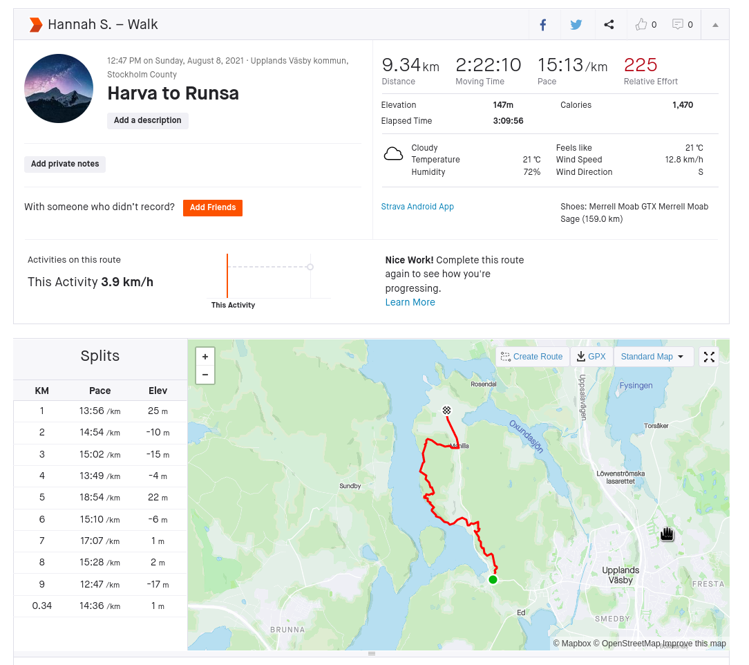
The route had a lot of ascents and descents – there were times that it felt the trail went down just to come right back up again.

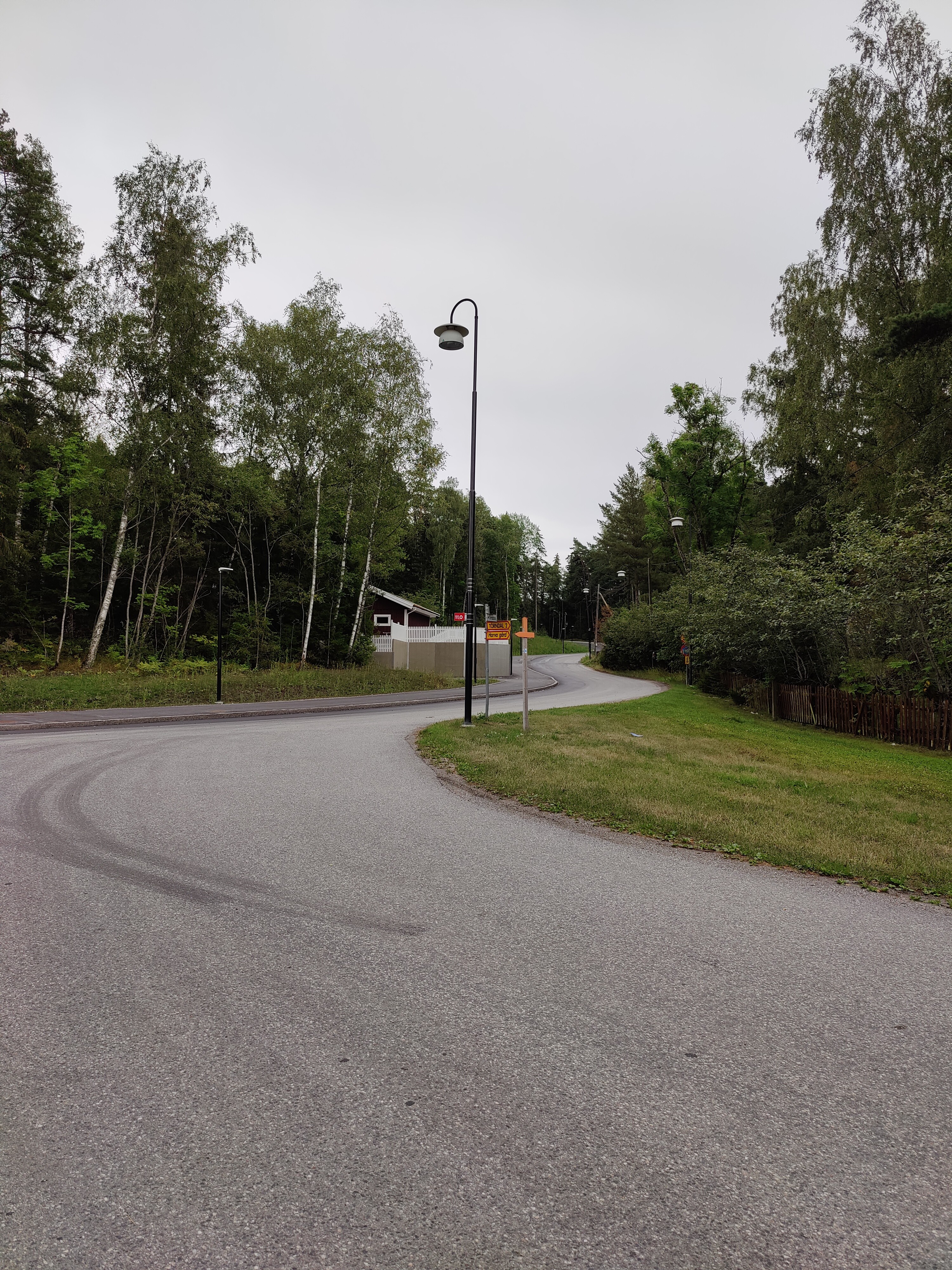
Once again starting from the small parking lot at Harva, the first step was follow the orange arrow and cross Runsavägen:
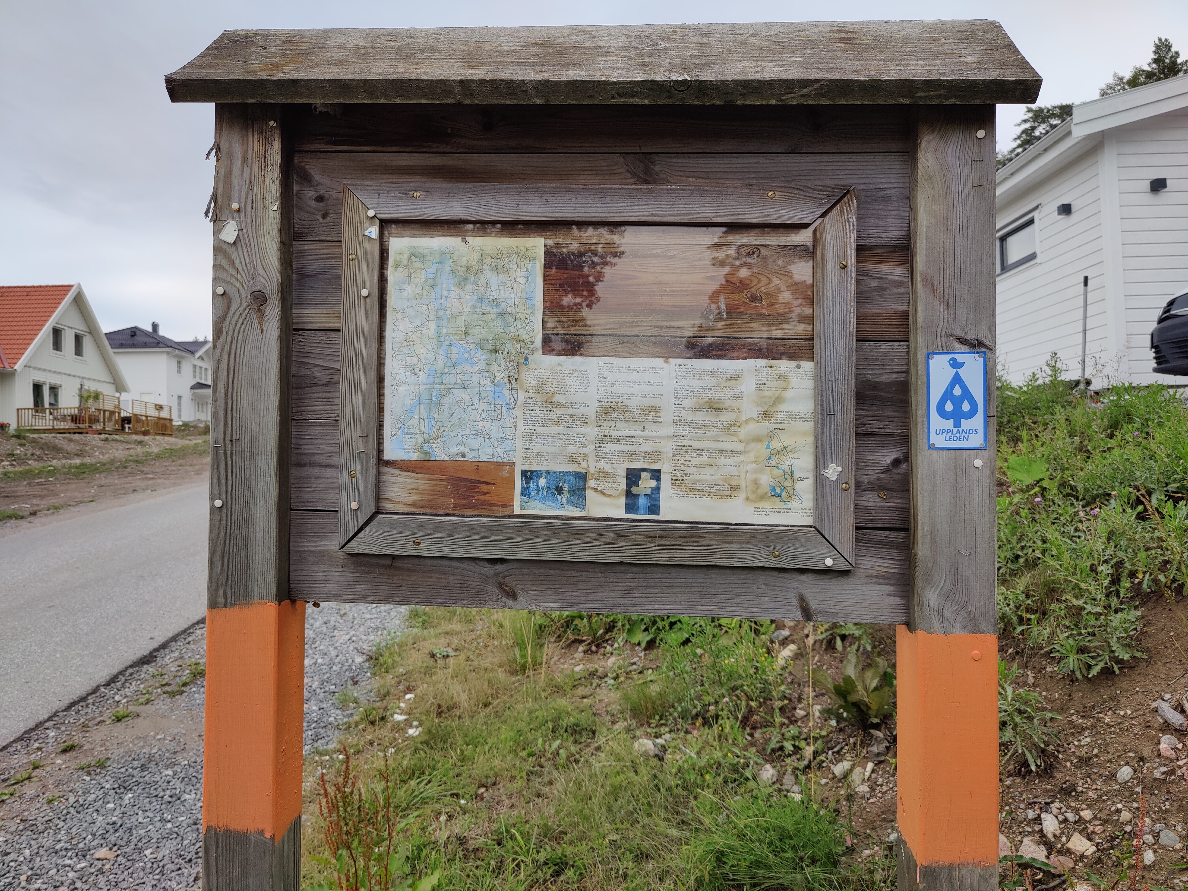
This section goes through a new housing development, so everything is either under contruction or shiny and new – except for this conspicuous information board with older information. It was nice to see, but not particularly helpful.
After climbing up the hill and just before heading into the woods, there’s a brand new sign with much more detailed information. Upplands Väsby has been improving a lot of their signage and general info around friluftsleven/outdoors – this is a lovely example:

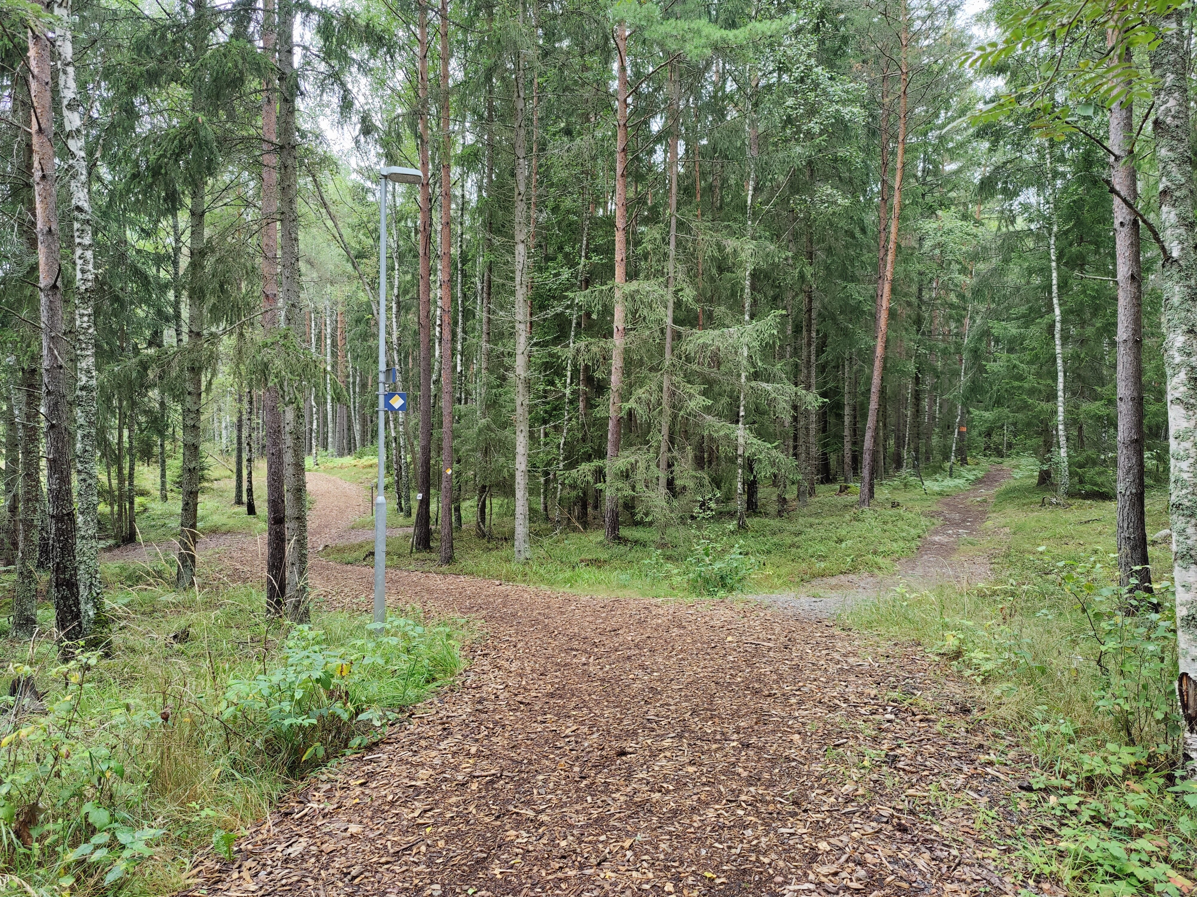
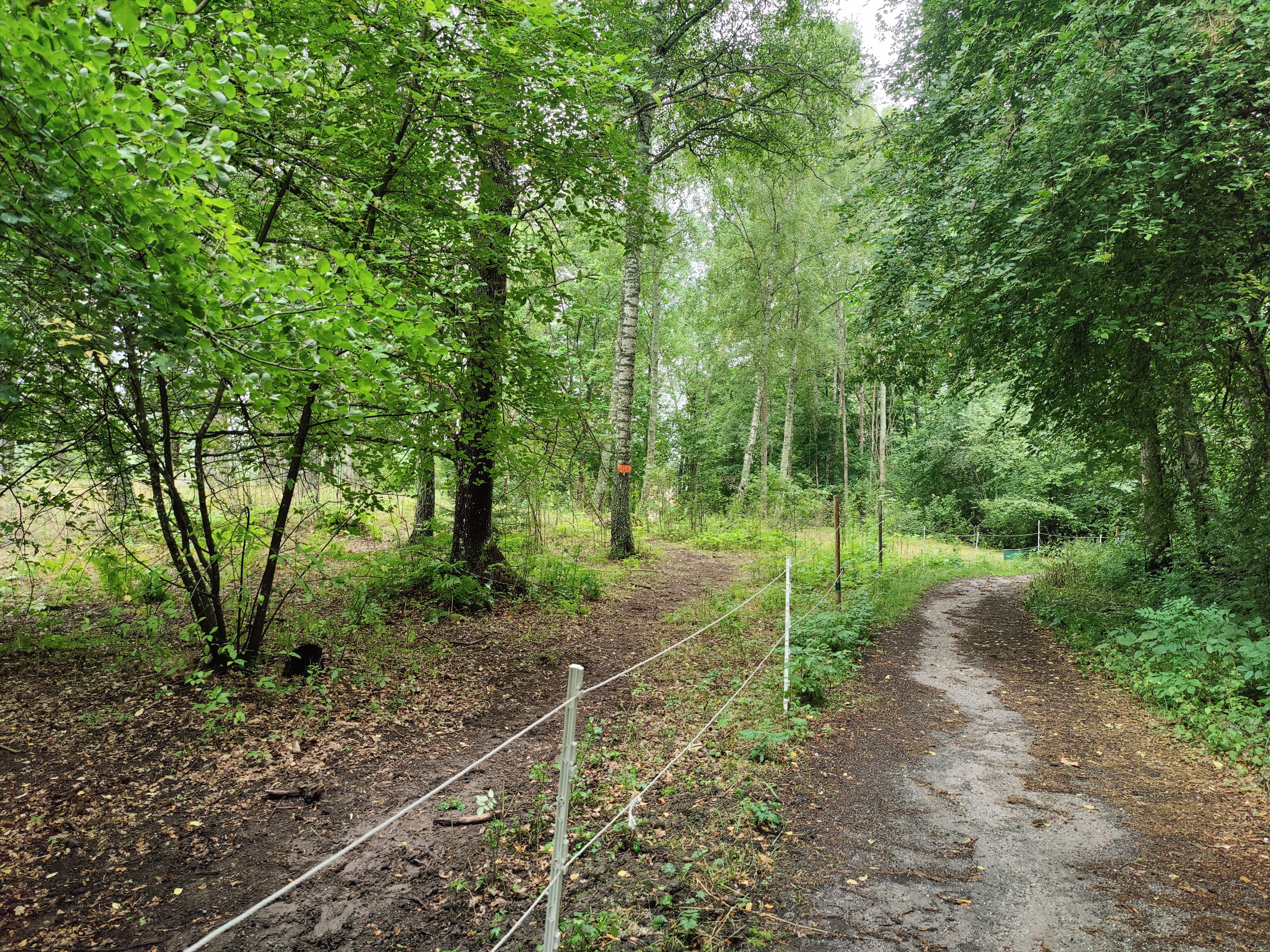
The path was initially beautifully maintained – and then Upplandsleden splits off to the right:
This set the tone for the rest of the trip: it seemed like while many paths were lovely, the Upplandsleden path was always going to be the more difficult one.
I was worried when I saw this trail marker on the other side of the electric fence – thankfully, just following the path worked out just fine.
After crossing Runsavägen again, follow what looks like a driveway – it really is the correct route and goes past a horse farm and then down to Sättrabadet. I’m not sure if the speed limit is 30 or 20 km/h, but I was walking so it didn’t exactly matter.

I’m not sure if there have been more slugs around this year or that I’ve just been outside to see them, but this section involved watching my steps to avoid squishing any. There were a whole bunch of little tiny toads, too, but I couldn’t get close enough to get a photo before they jumped away.
The path goes down to Sättrabadet – it’s mostly a big grass field with a few spots that you can get down to the water as well as a big fire pit. Interesting fact: I wrote my first WordPress plugin sitting on the shore here as it was a good place to concentrate. The weather was bad enough that no-one was swimming, but plenty of people were fishing.

The path follows the lake here and can get rocky/small, but it’s a lovely section:
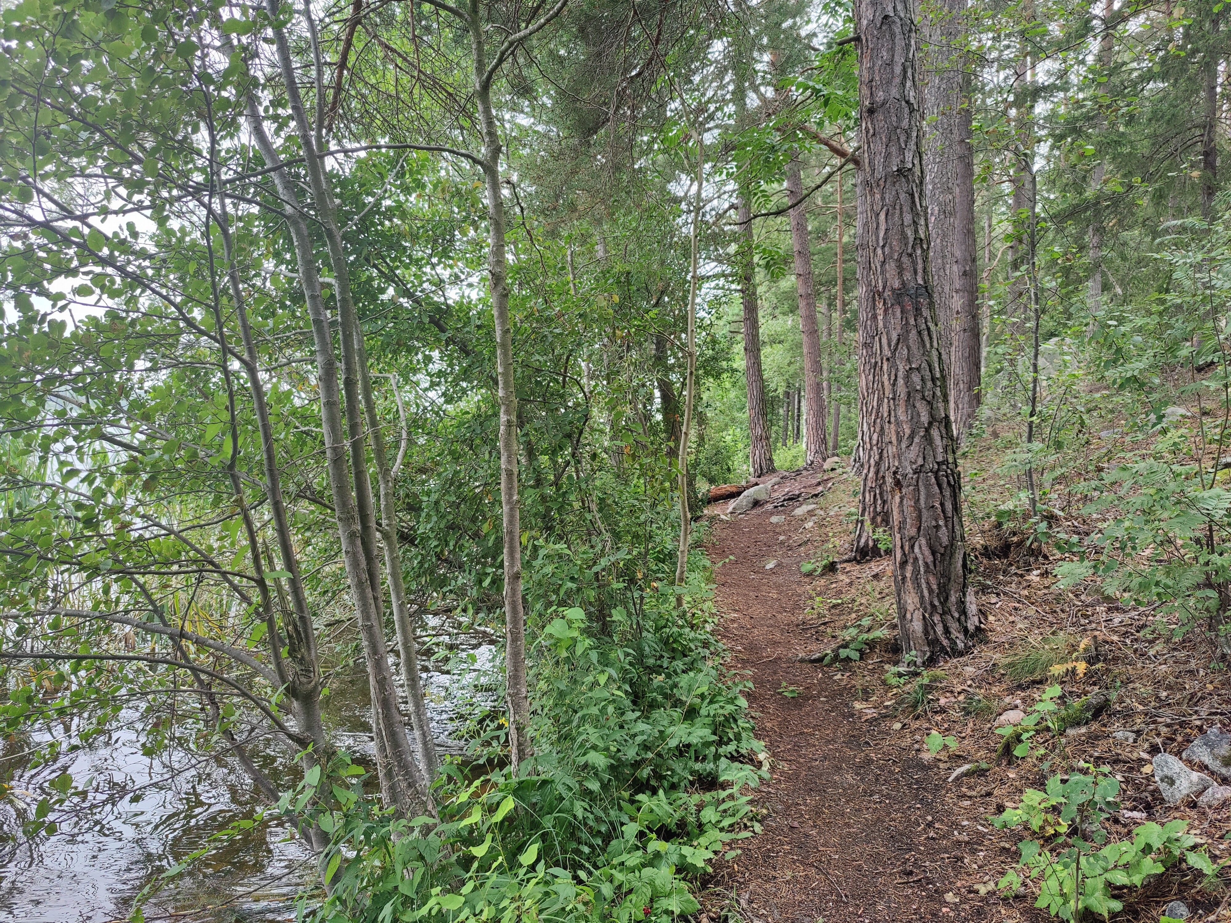
There are lots of places to stop, have a small fire, go fishing, picnic, etc., with a nice view over Mälaren:

The photo of this hill does not do it justice: I’ve climbed it when muddy, snowy, icy, and even in good weather – it’s steep, slippery, and then there’s always more before you’re at the top.

The view from the top is lovely and there’s a nice little bench. There’s also another fire pit tucked behind the top of the hill. I had planned to have lunch here, but this was when it went from a light drizzle to real rain.

It turns out that there was another shelter a bit further down the hill with a big firepit and open area to hang out.
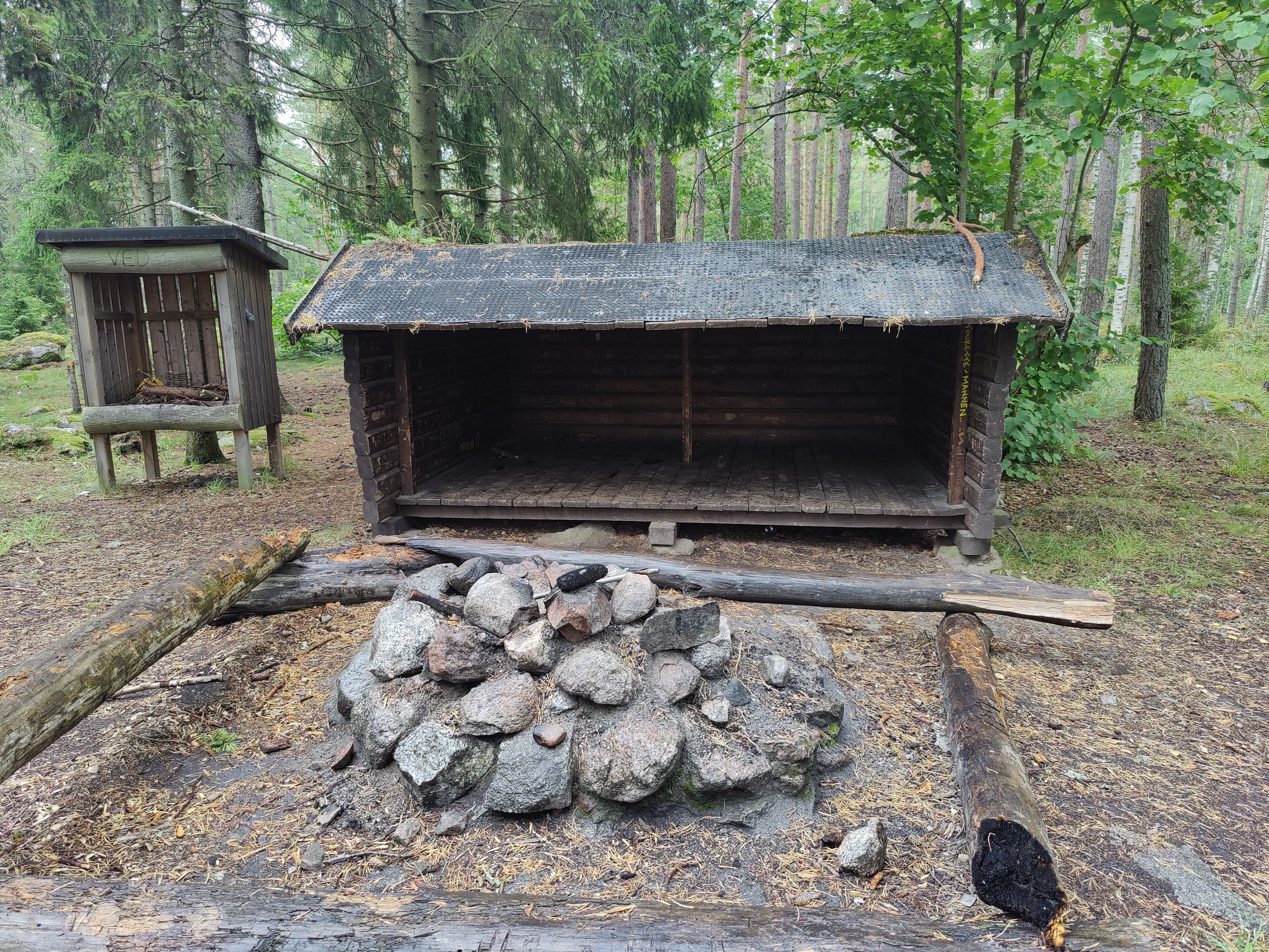
I made grateful use of the (mostly) dry space to heat up my lunch and have some coffee – what a relief! This is also when I realize that my backpack has a raincover and put it on.

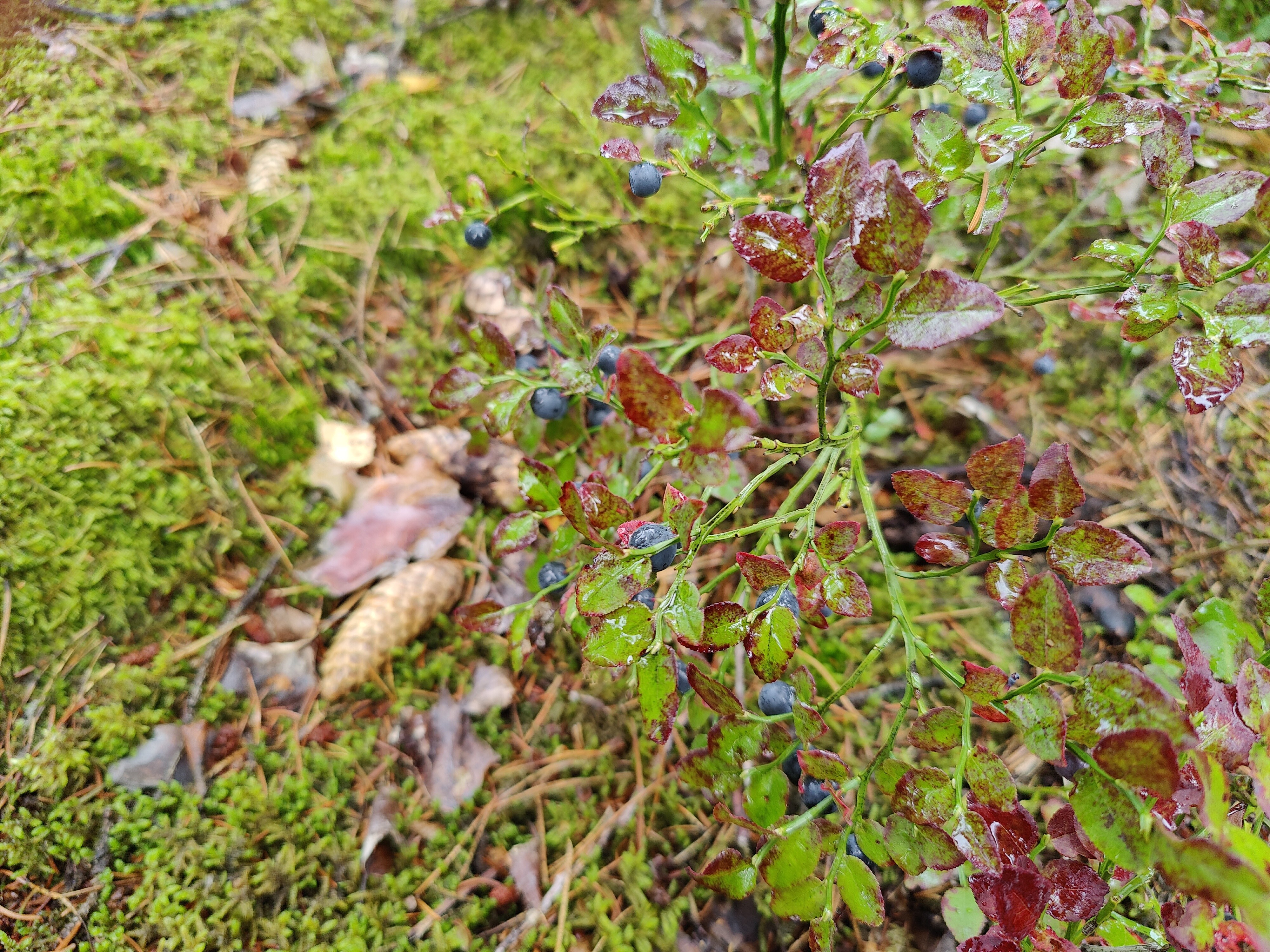
I’d been talking with a colleague about how there were still blueberries and since that conversation, was now paying more attention to the berries. It seems like the further north I go, the more blueberries are available – maybe because these trails aren’t as popular?
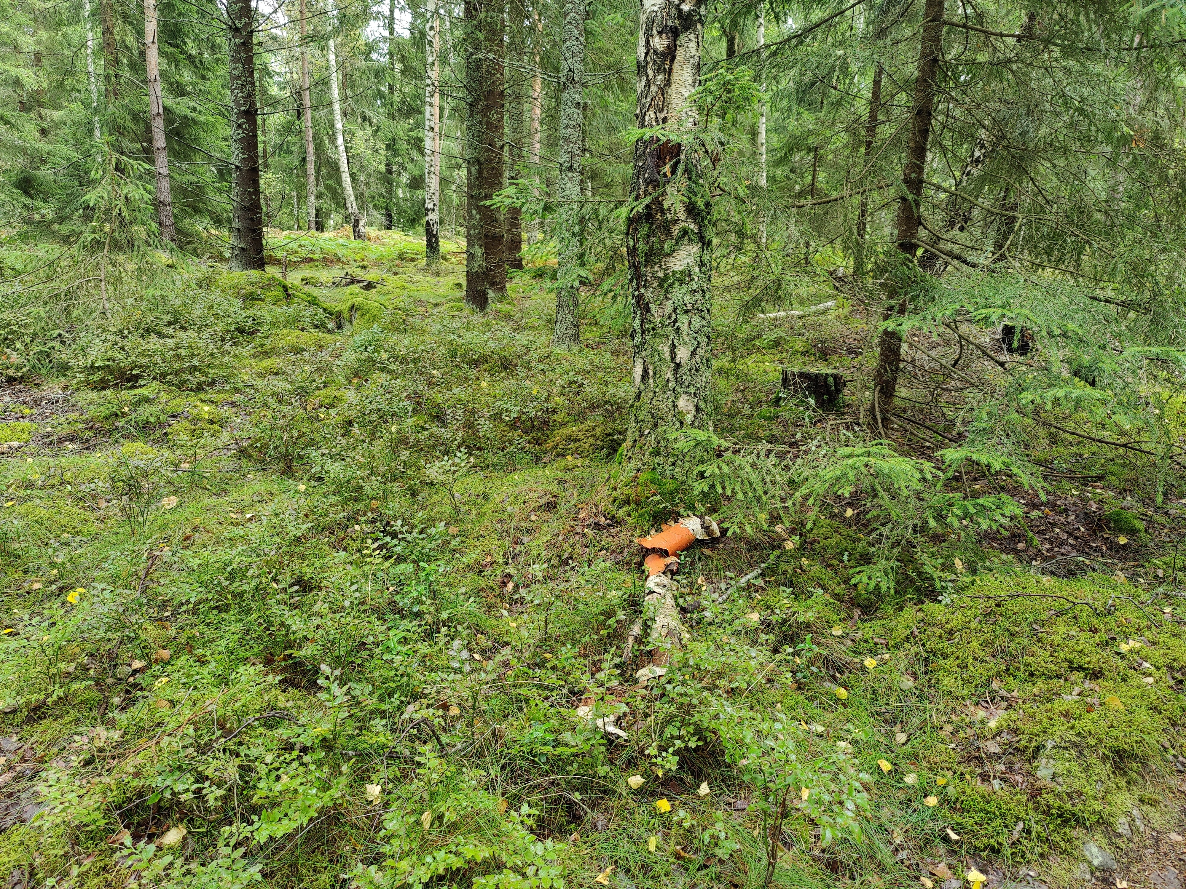
The trail felt a bit like a game: don’t touch the wet plants on the sides, and put your feet down around the roots.

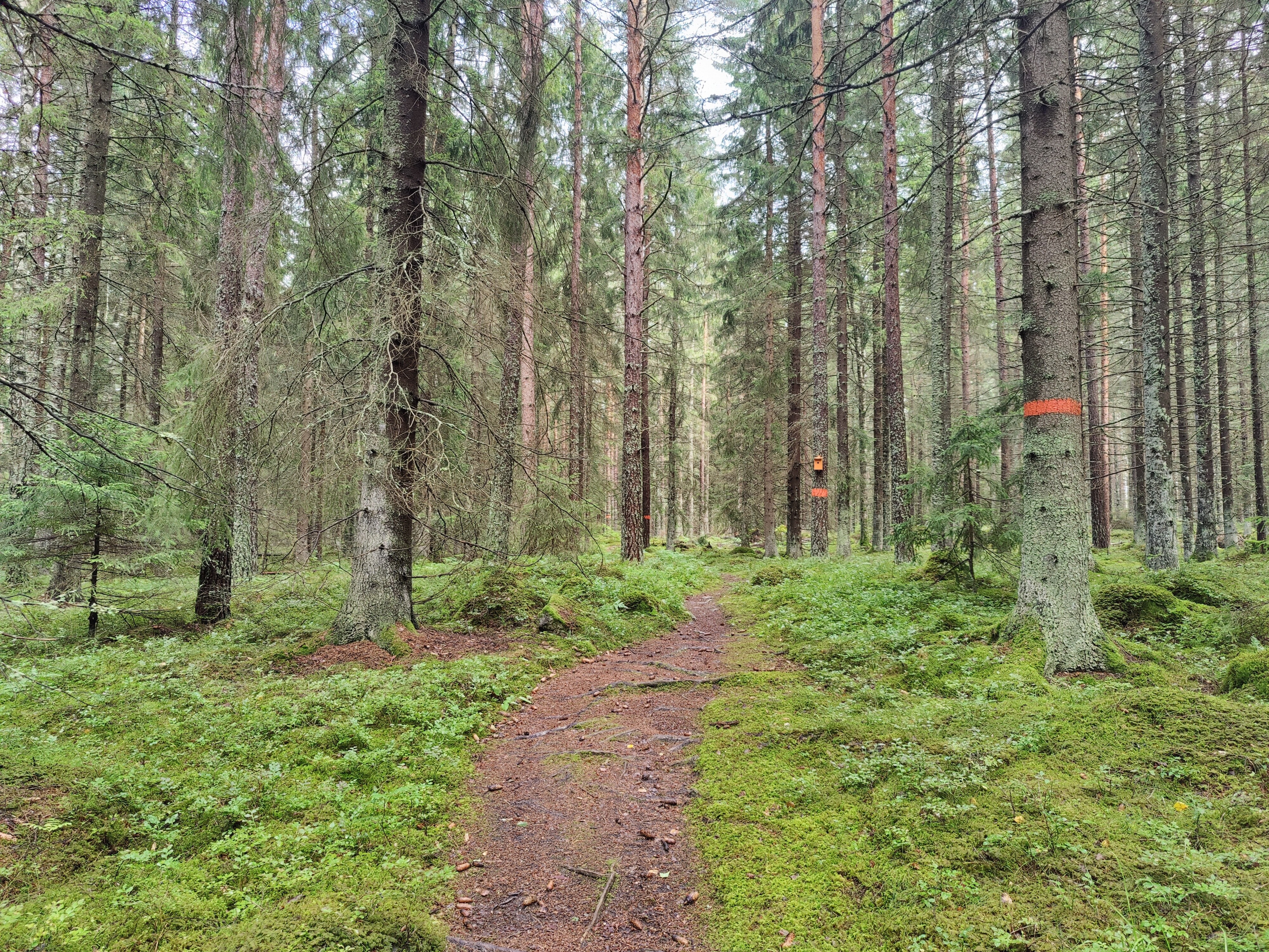
The trail was well marked, though occasionally in unexpected ways:
This trail reminded me that variety is the spice of life. When on tougher, steeper sections, I’m looking forward to the nice, easy, flat sections. And when I’m on the nice, easy, flat sections, I get bored and look forward to the next challenge. At this point, when looking at the map, this nice, flat road would take me straight to the destination – but the marker says to take that tiny path. *sigh* My sense of completionism wins out yet again. Here we go!

Around this point, the weather is starting to brighten and there may also be some sun. And hey, look: an orange birdhouse!
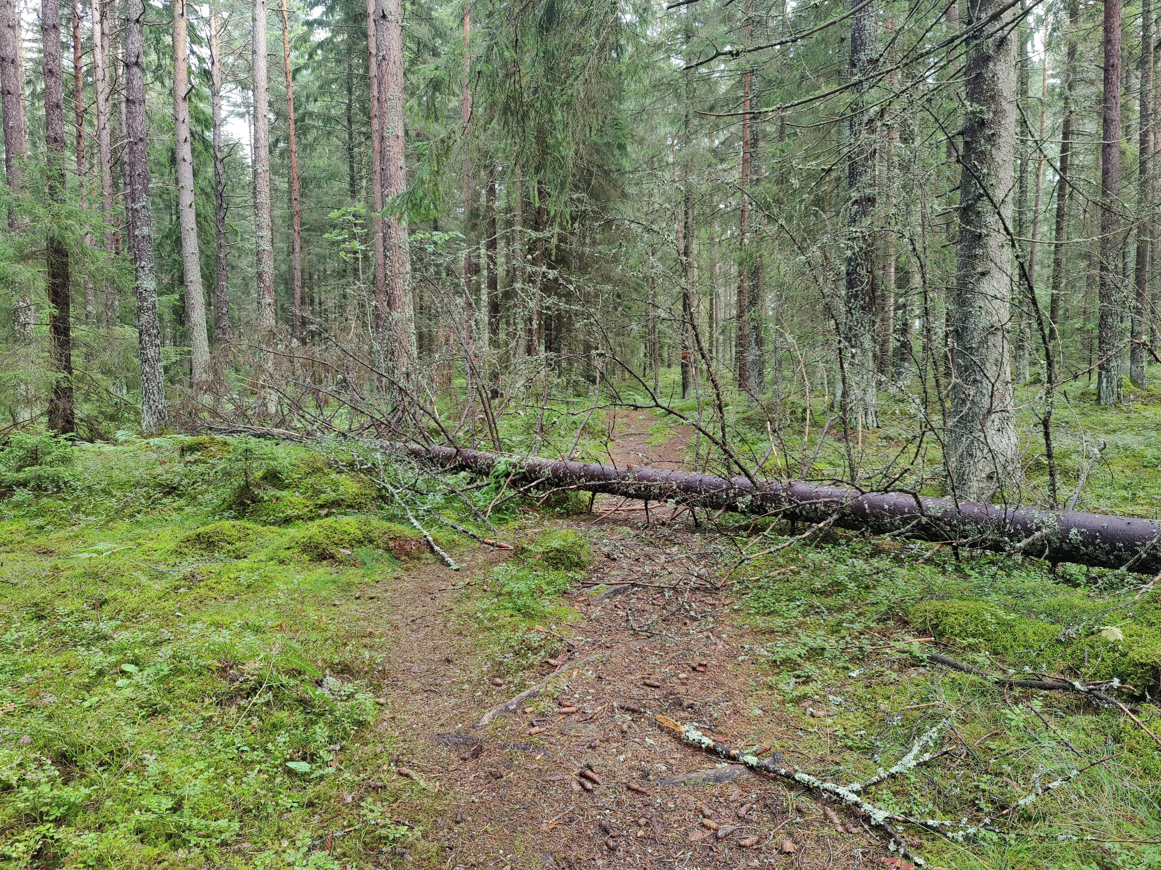
This is the second downed tree that I’ve come across during the Upplandsleden here in Stockholm – but at least this one has been trimmed down enough to make it possible to clamber over:
I’m damp but feeling pretty good. I’ve discovered that my backpack has a rain cover. And then the sun decides show up!

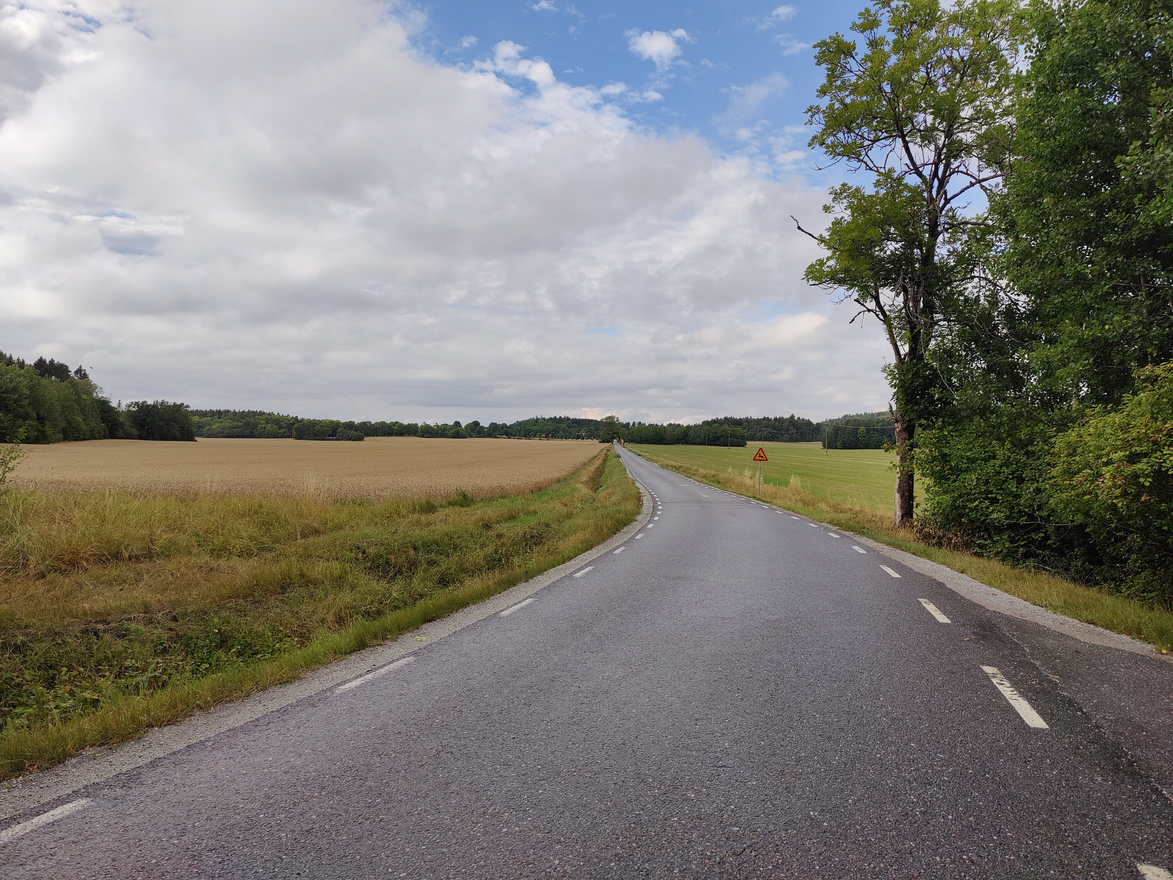
The final few km of the trail are along an asphalt road. It’s long, straight, boring, and involves walking along the shoulder. There isn’t much traffic, though, so it’s fine.
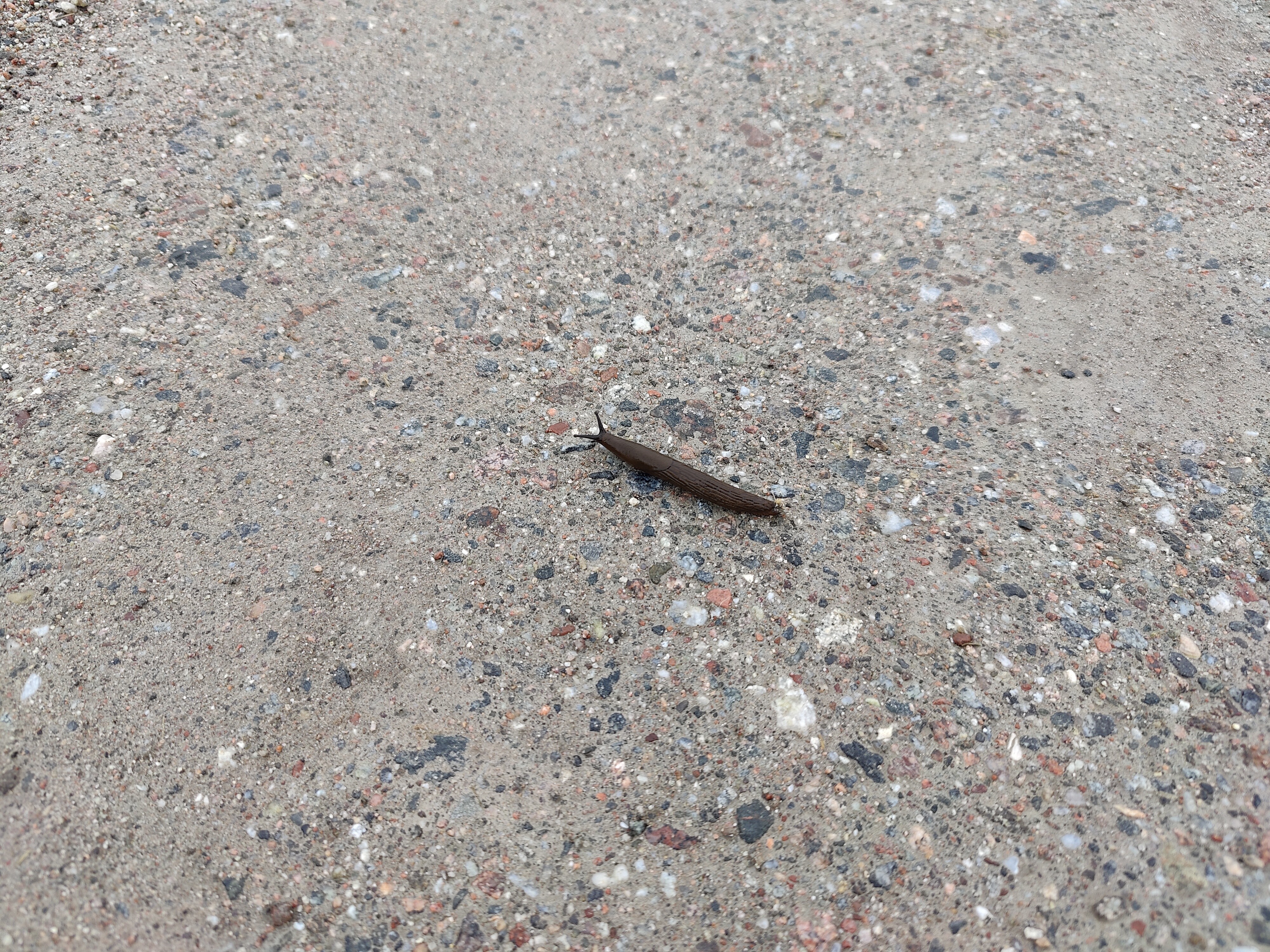
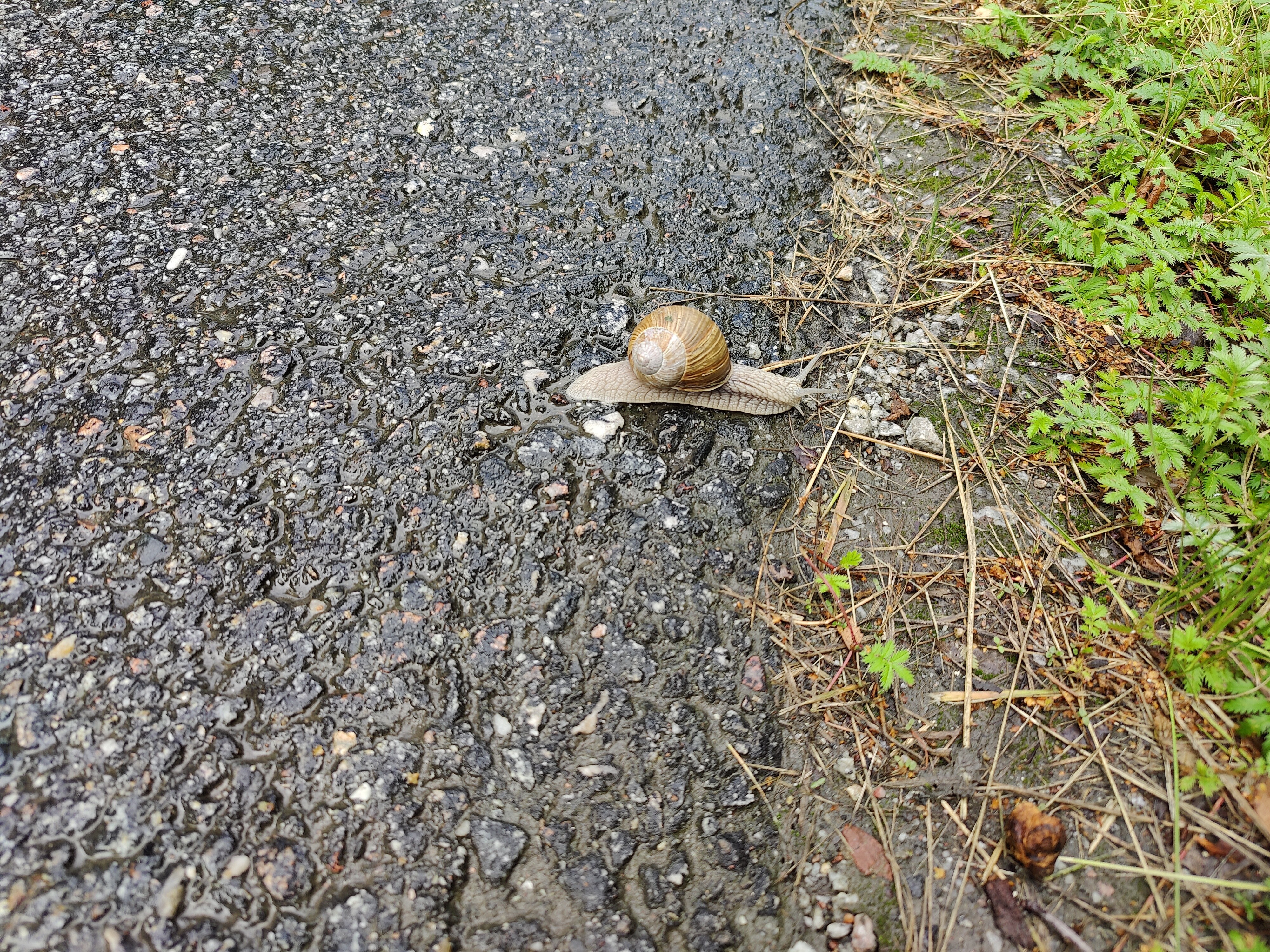
I spotted a snail! It’s a nice change from all the slugs, so including it here for variety.
Still walking down this road.
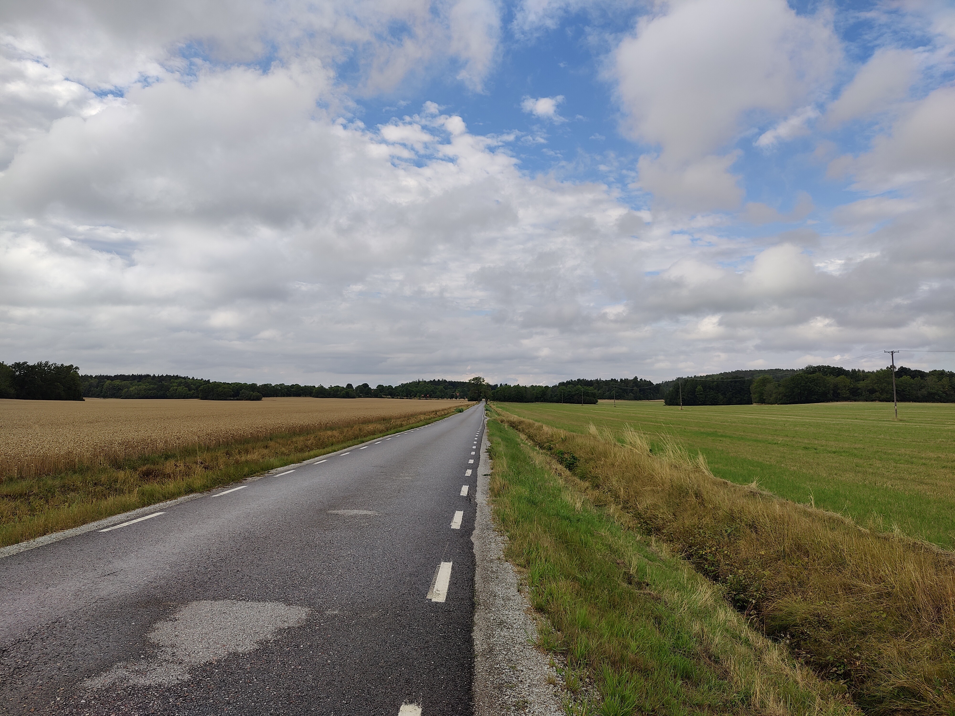
The crop (wheat?) on the side of the road, along with the trees and sky let me play with photography proportions. This was partially because it was potentially a nice photo and partly because I was bored.

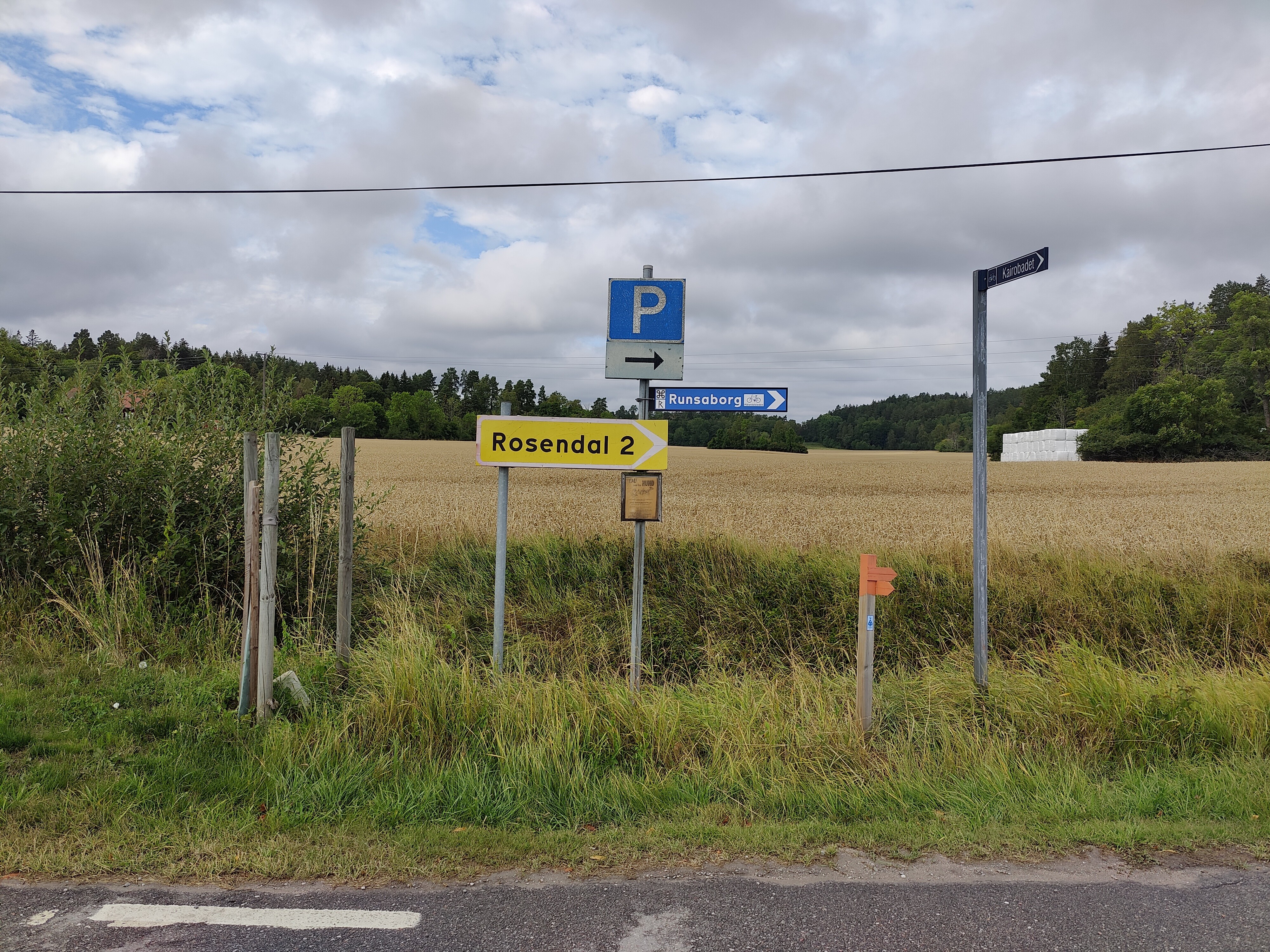
The final section of the road includes trees. This leads to Runsa slott, which is more of a manor house.

The road ends in a T-junction: head left to go to Runsa slott, and right for the parking lot where this section wraps up. This is the parking lot you’d want if you are exploring Runsaborg (Strava map).
Thus concludes part four of the Upplandsleden (Stockholm) trip! See Upplandsleden route info (Stockholm) for the full overview.

[…] Trip details: Sunday 8 August 2021 […]
LikeLike