

In part three of the Upplandsleden (Stockholm section), I walked from the north to the south – this was purely due to logistics of being able to get a ride home. I’ll write this post as I walked it, but the route is available for you to go either direction.
I actually walked this on Friday 6 August, so yes – I’m behind with documentation. These posts aren’t exactly time critical: I’m sharing them for anyone who may find them useful and for my own memories/achievement. And thank you for the feedback from those who let me know they enjoy reading these posts. 🙂
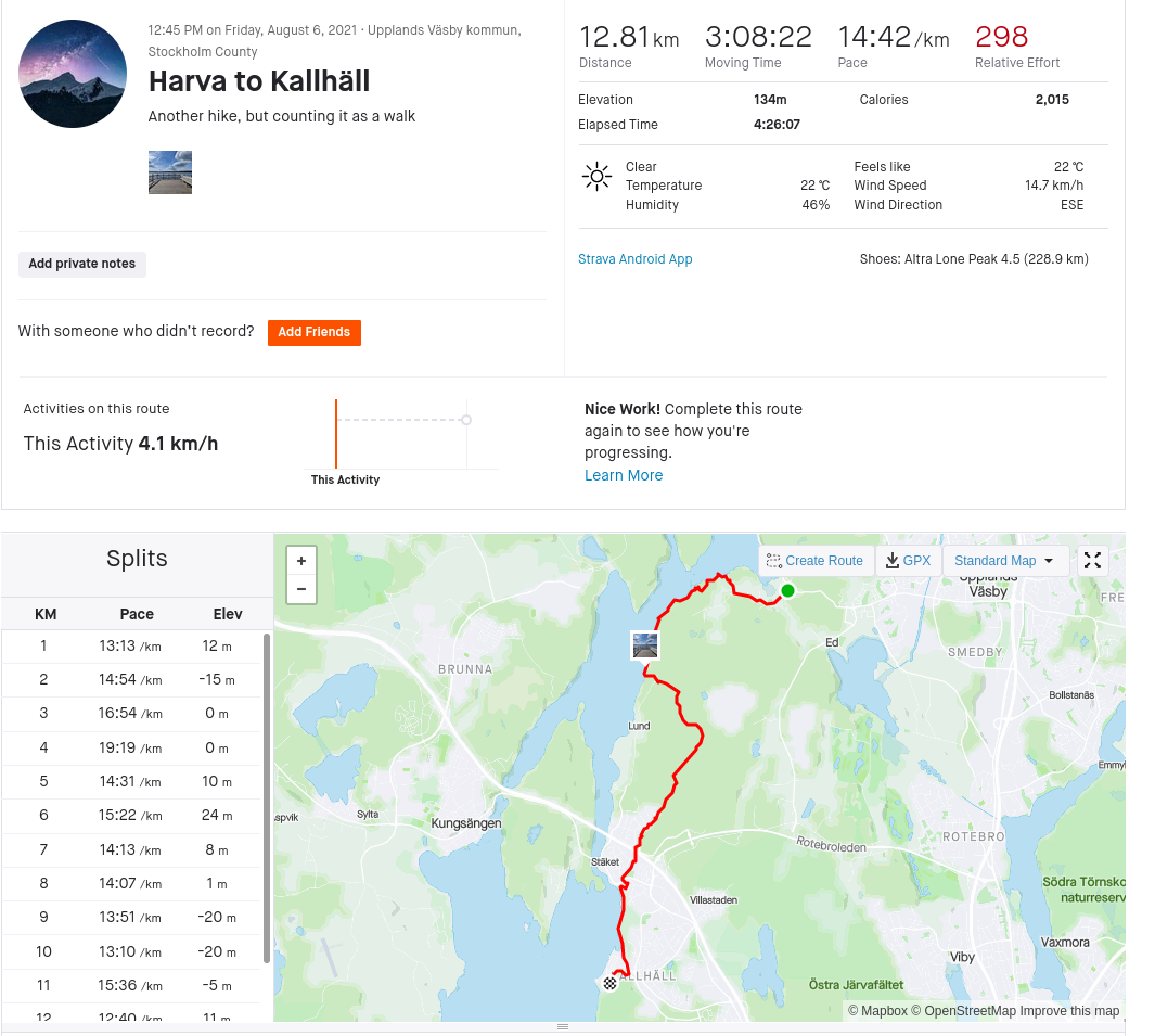
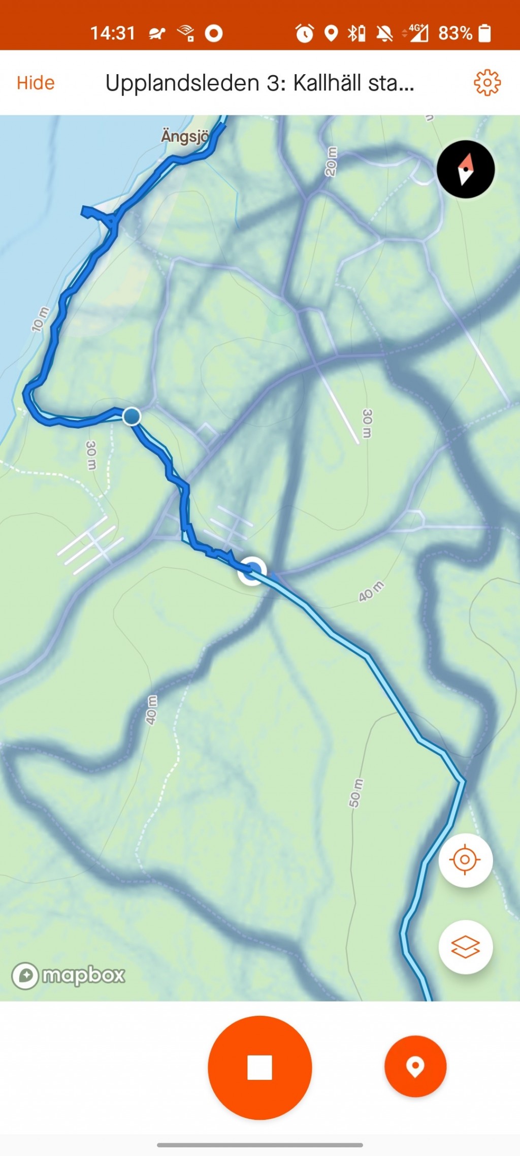
You can find the route on Strava – here’s the actual log from the walk/hike:
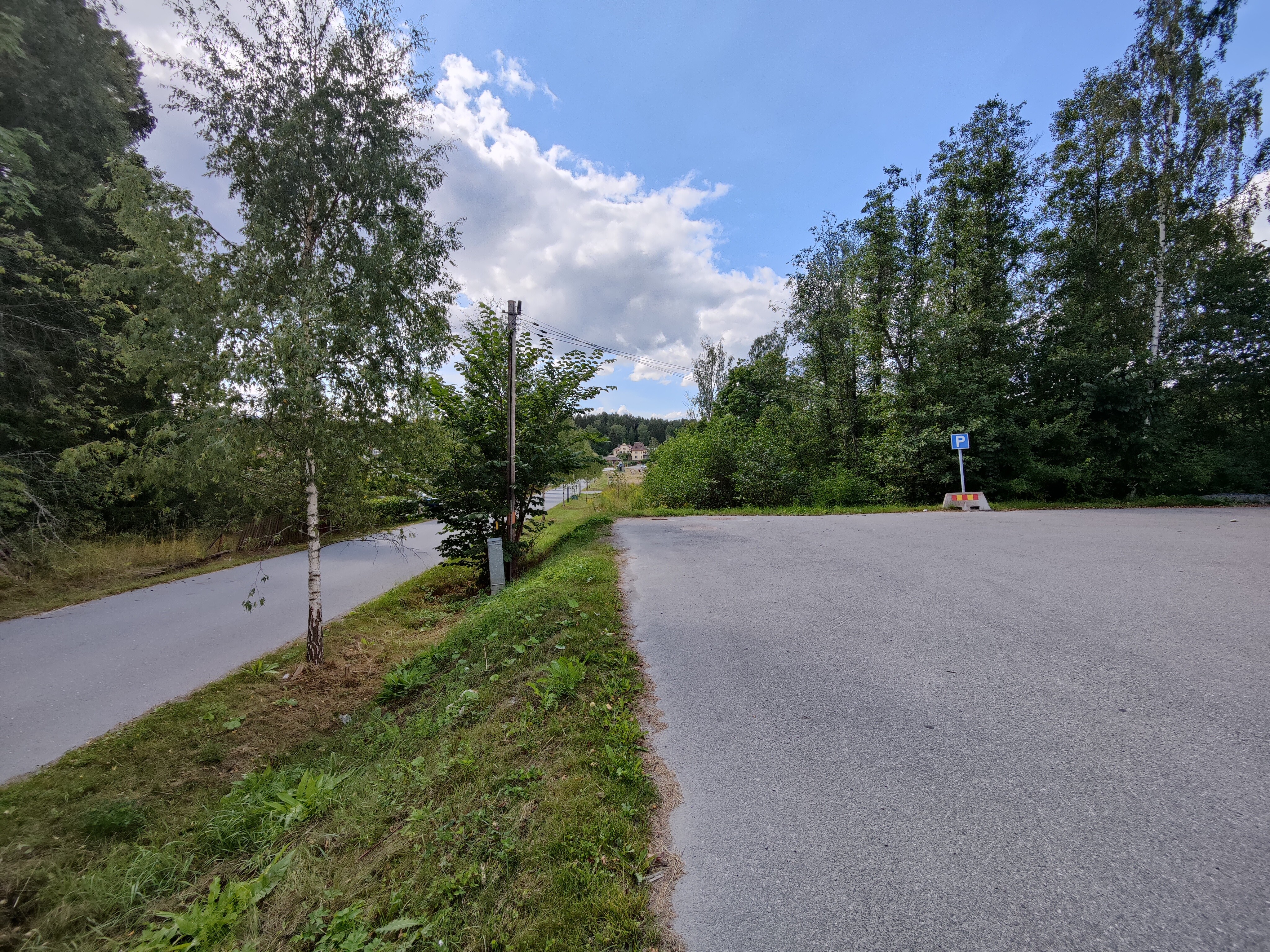
Starting at the parking lot just off the main road at Harva, there’s the first Upplandsleden orange marker of the day over on the power post:
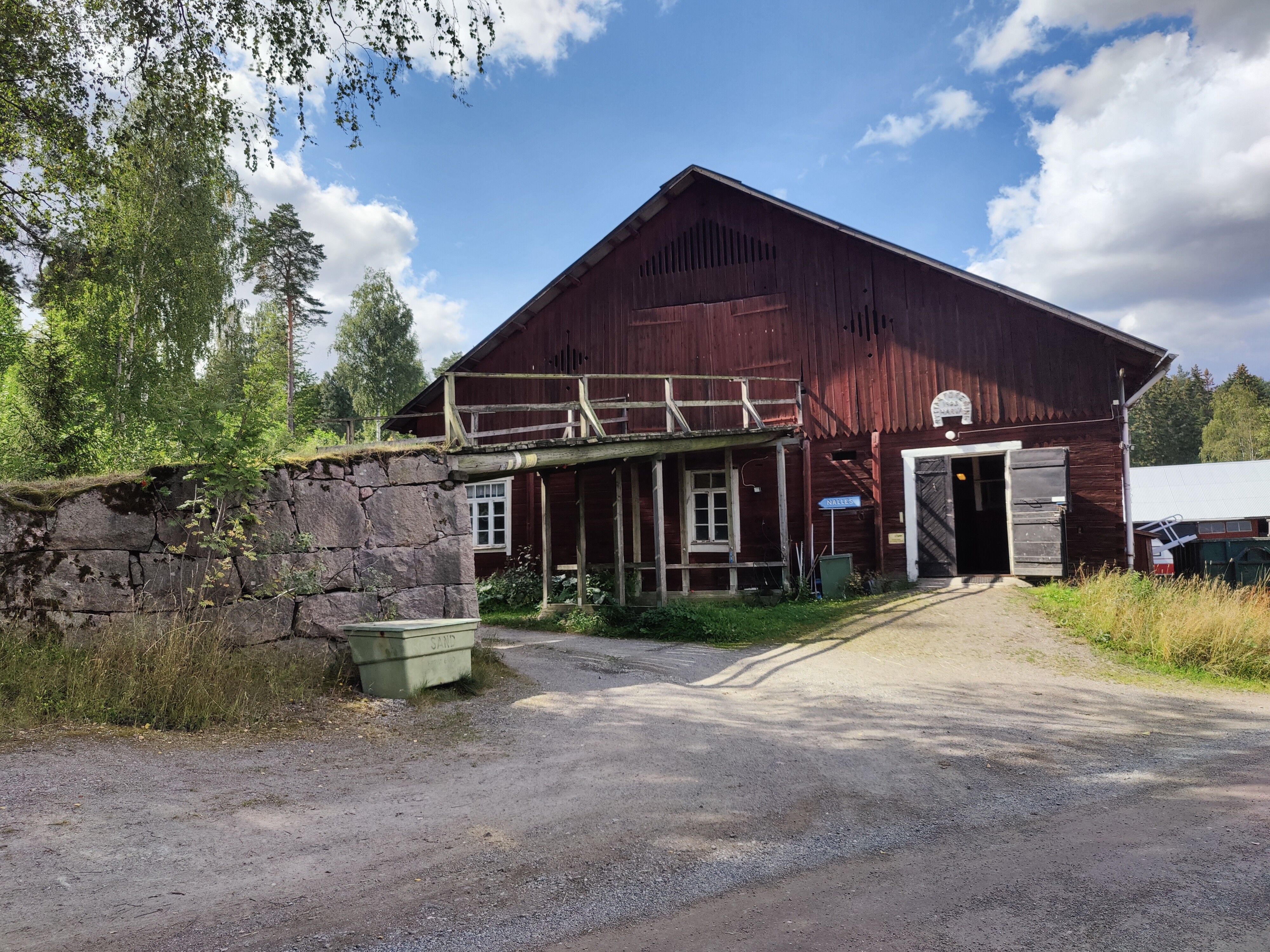
This first section goes through a lot of farm land – and apparently a lot of horse farms, with lots of barns. Most barns are the typical Swedish “falu red” due to the traditional paint. There were plenty of friendly horses who checked me out as I walked past, but I couldn’t get any good photos.
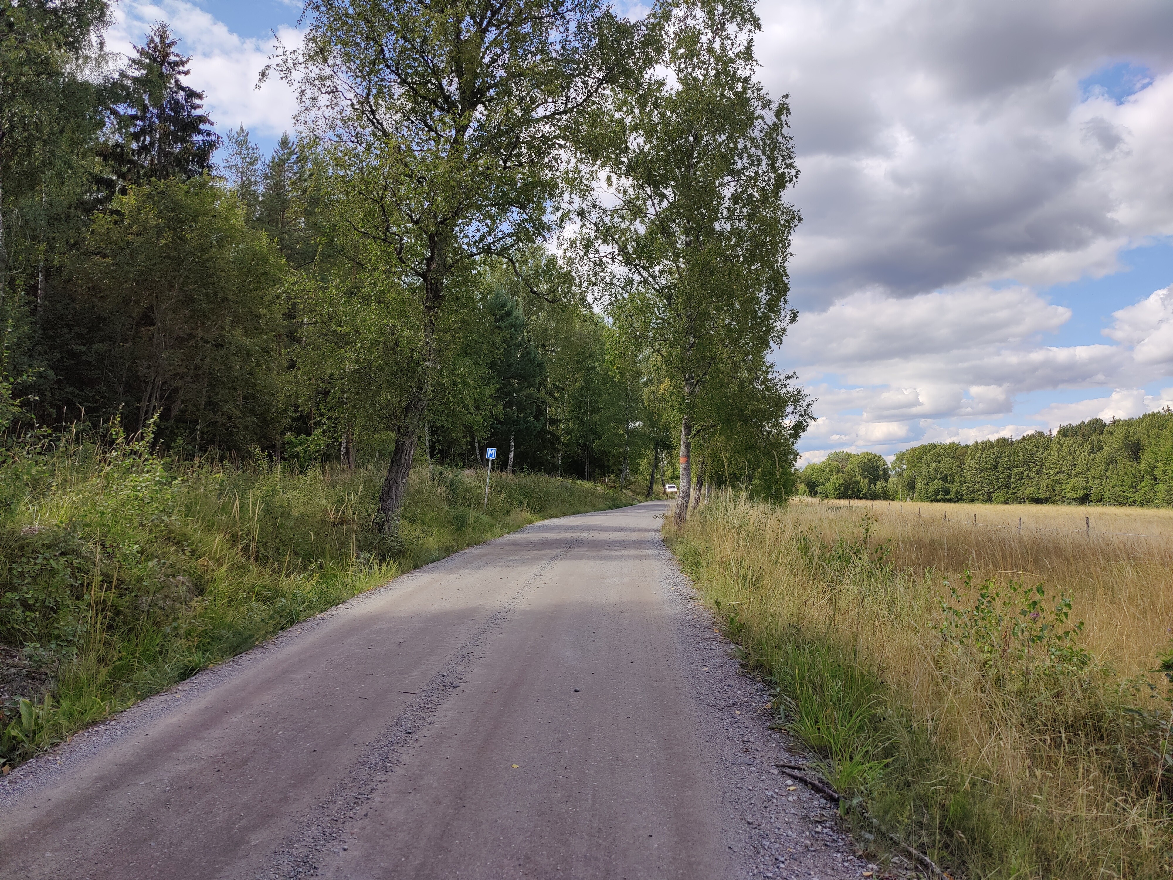
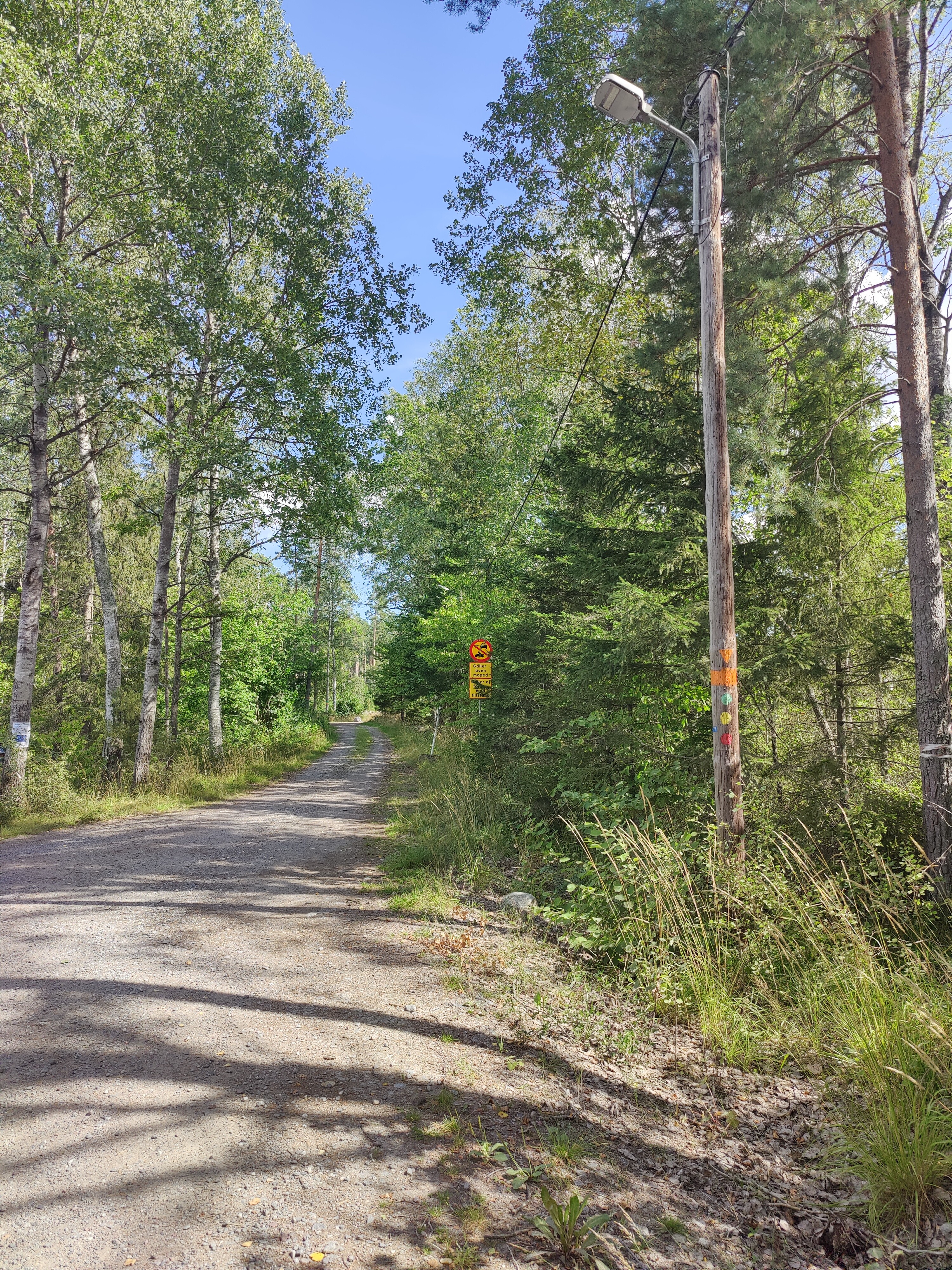
The first kilometers involve following this gravel road, complete with “M” signs. I’ve seen them all over Sweden on these smaller roads but haven’t actually figured out the sign’s meaning. I think it indicates a small widening of the road so that you have space to pass.
The path veers off the road into proper trails again – and hey, it’s an orange birdhouse to mark the way! I spotted these all throughout the Upplands Väsby section of Upplandsleden.

The path heads down towards Lake Mälaren – the list time I was in this area, this was a terribly swampy path. It was great to find this lovely new wooden footpath over the muck.

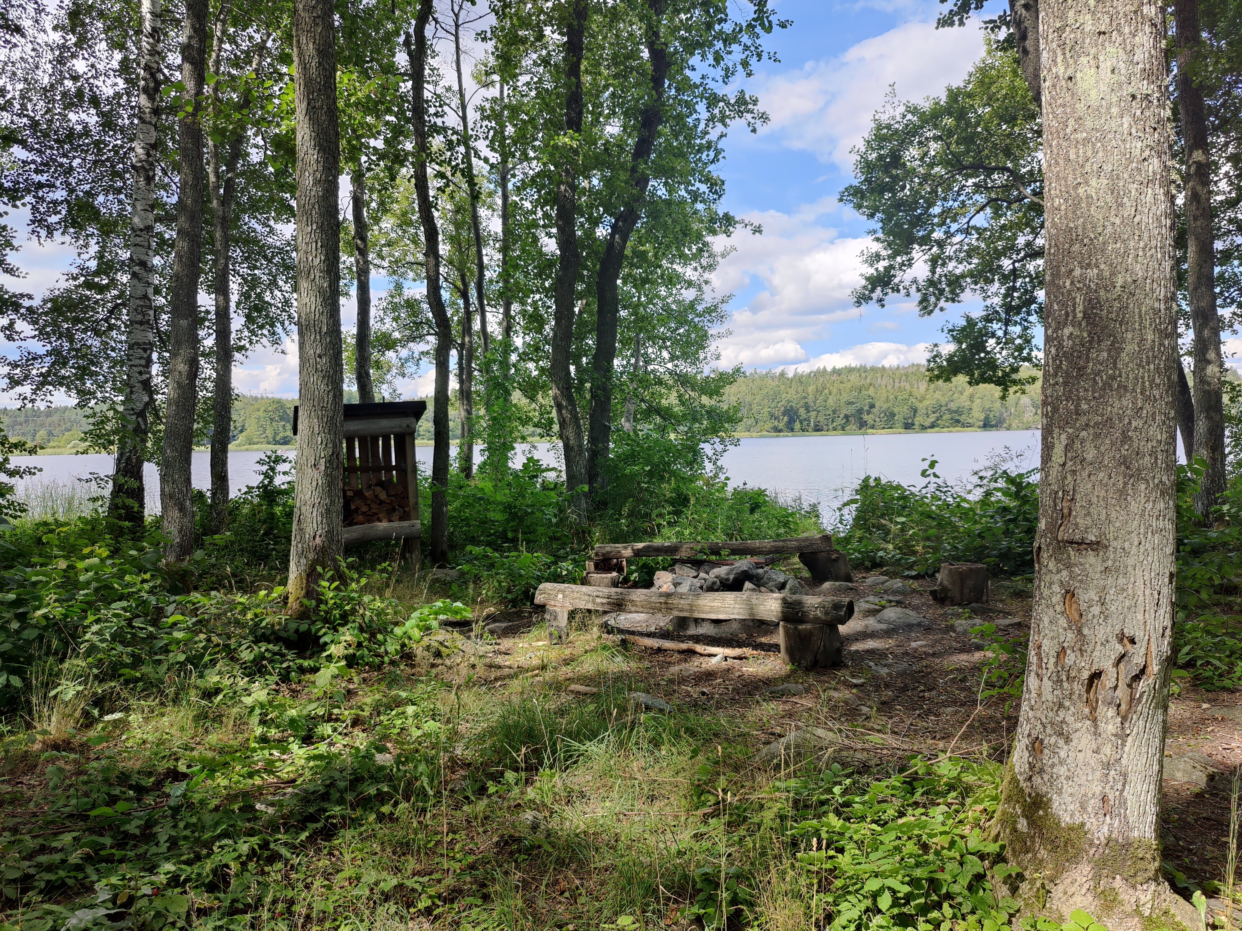
There’s a lovely camping/fire spot right on the lake, supplied with wood. There is even a small path down to the water so you could stop here with a small boat.
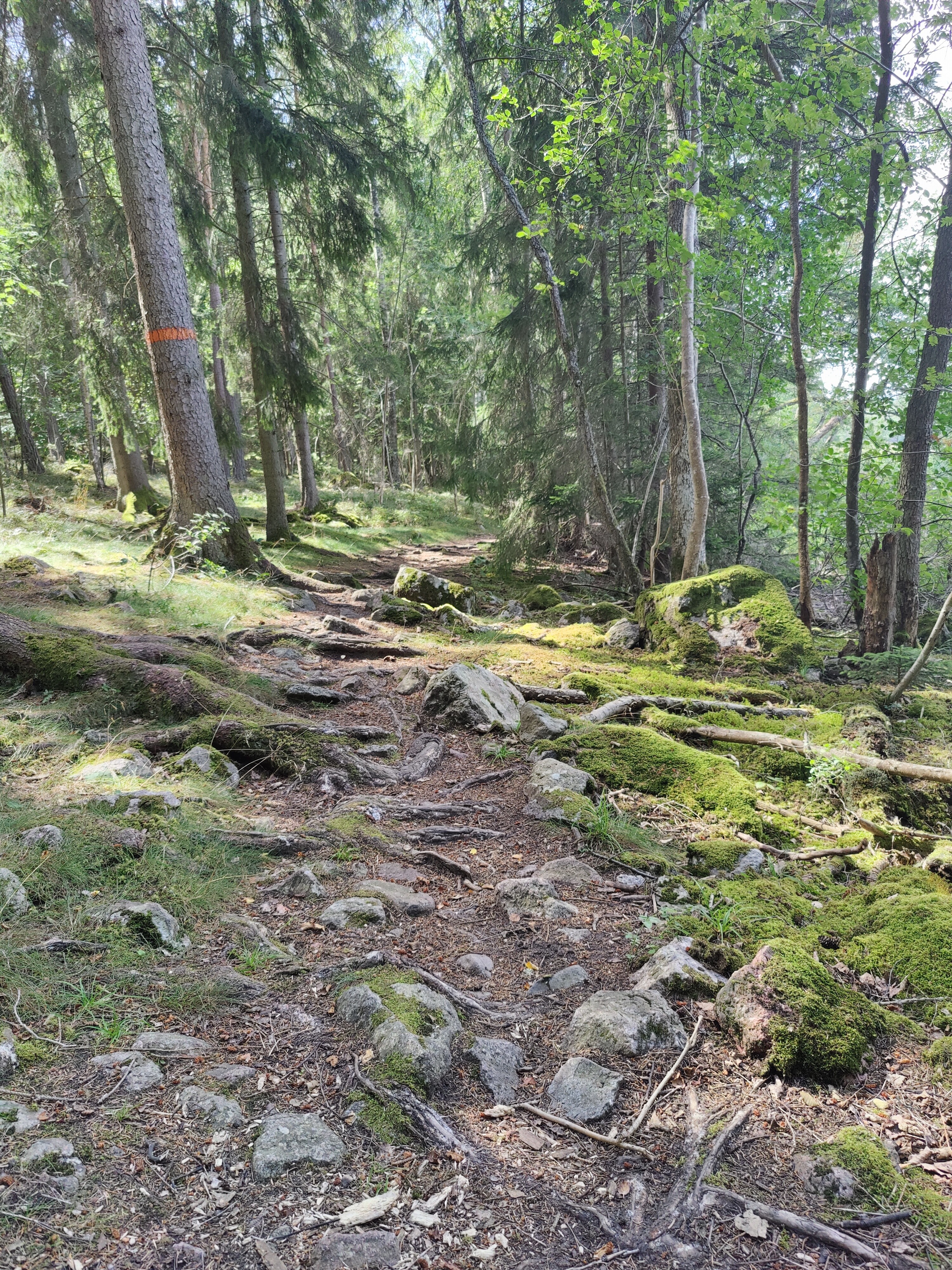
From there, the trail became rougher with lots of stones and some narrow sections that dropped down to the water. I was glad to be wearing hiking shoes at this point.
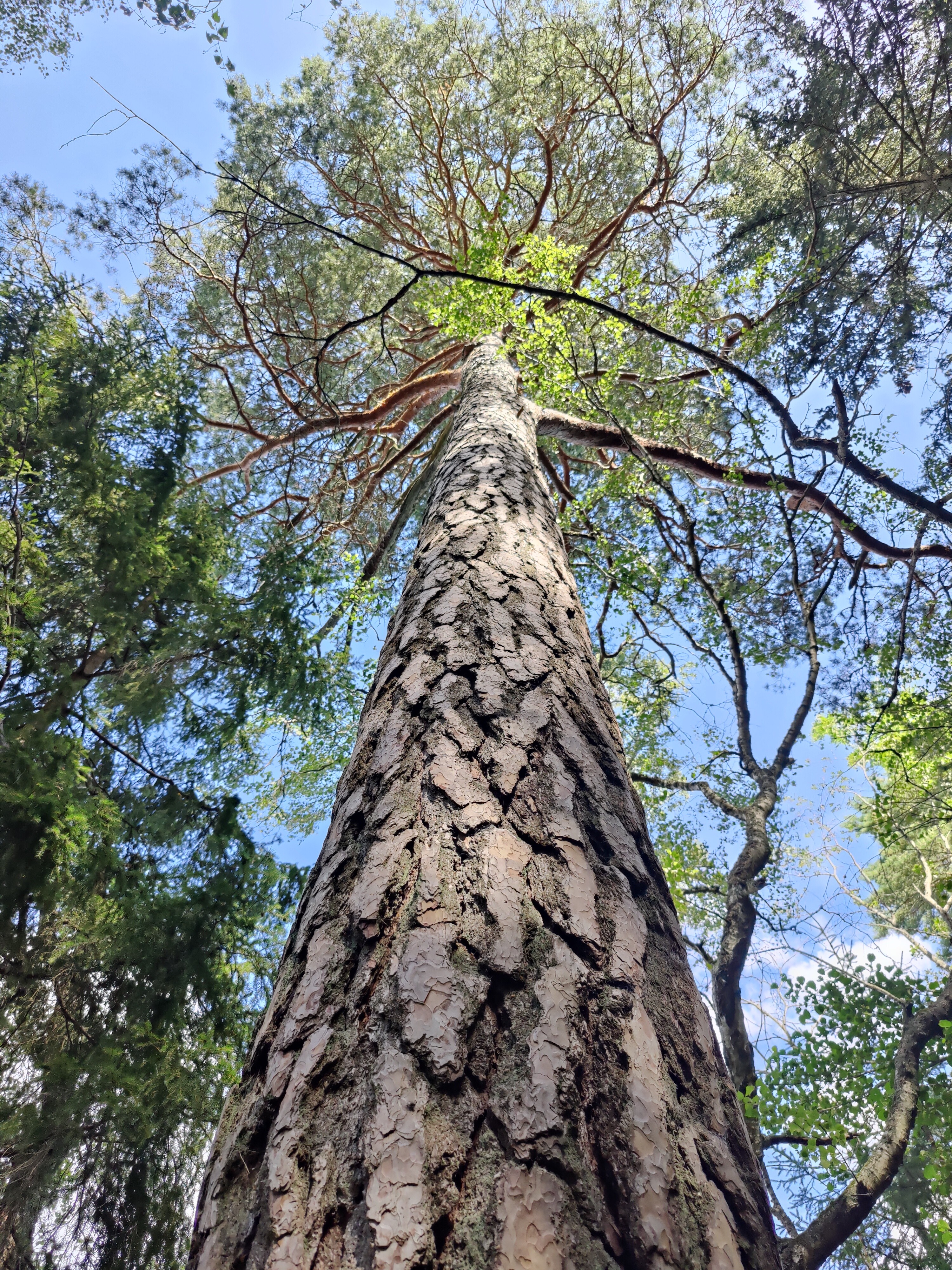
It was such a beautiful day to be out in the woods!
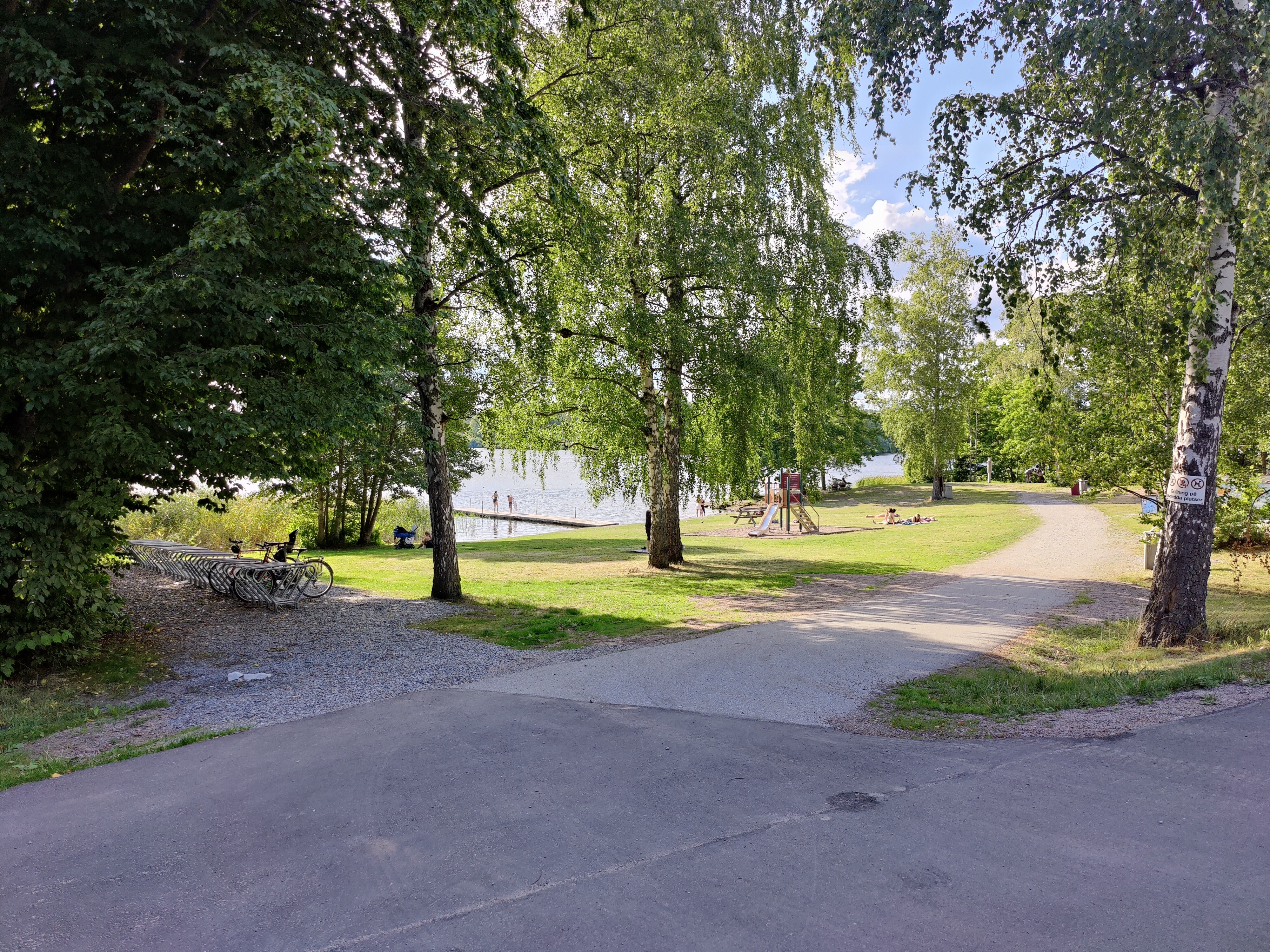
A few hundred meters from Ängsjö friluftsgård, the trail evened out and went past a grassy “beach”:
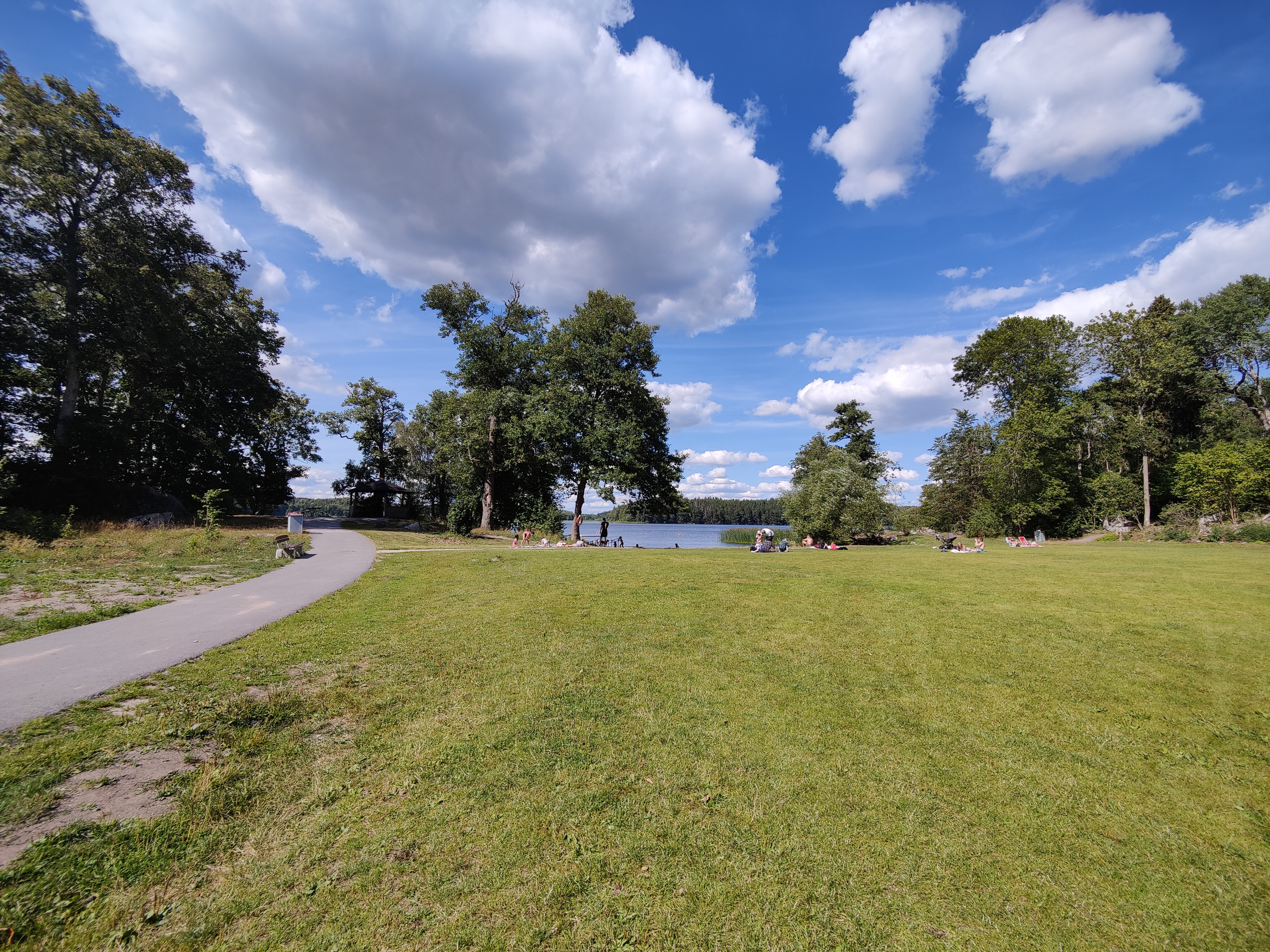
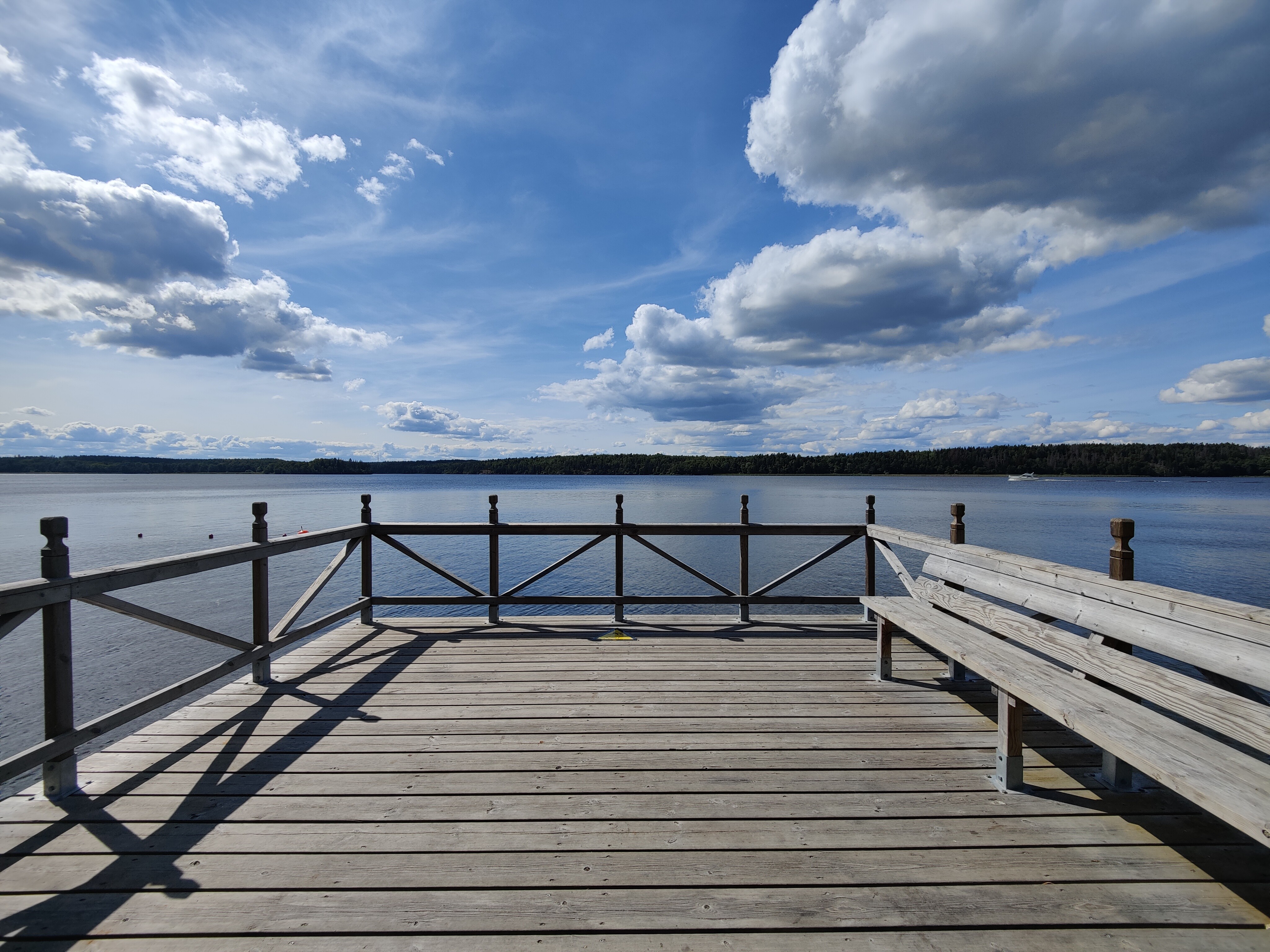
There are a bunch of beaches along this area, all part of the Ängsjö friluftsgård / recreation area. I found this deck looking out onto the lake:
The trail continues through a network of trails around Ängsjö friluftsgård:
I found having the route available in the Strava app to be very helpful, especially when it wasn’t clear which path I needed to take:
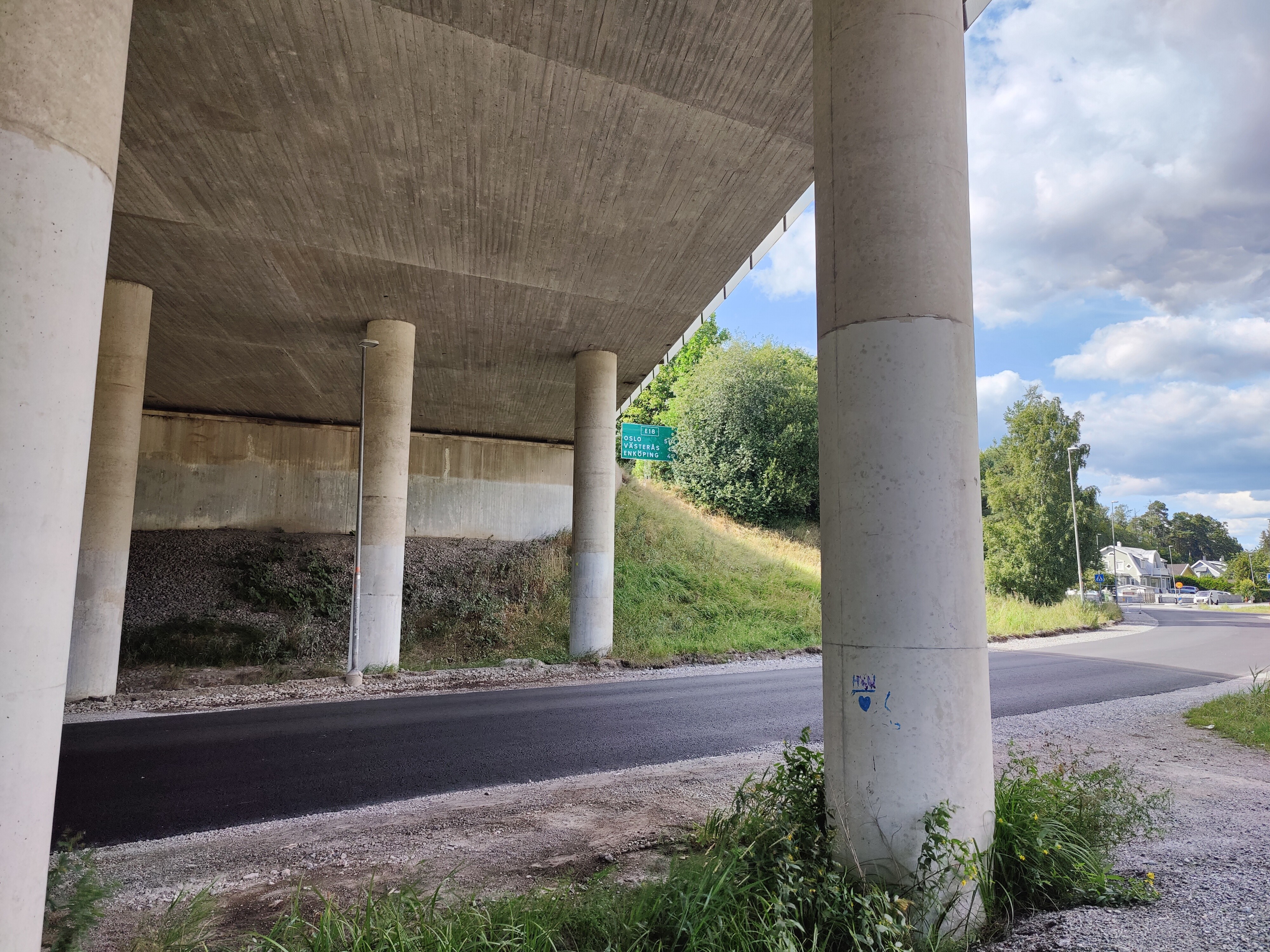
After continuing along a boring but easy stretch of two-track road, I came out at Stäcket – I’d been curious about this as I know the path goes under the highway system here but I didn’t know exactly where. Here’s the underpass:
Up until this point, the path had been easy to follow but then I missed a turn due to construction. After studying the map, I could either go up these massive stairs and make a loop – or just go straight on and catch the trail again in a few hundred meters. My sense of completionism (and the thought that I’d be blogging this :)) made me decide to take the stairs. I did start counting them, but stopped around 40 when I realized that there were even more steps than I realized.

After a short walk through a residential area, the path turned and I found this amazing view. It turns out that I’d found Trappeberg. It was a perfect place for a late lunch.

There were indeed more stairs to get back down.

The last section and final kms consisted of a wide, smooth paved path. It went past Bonäsbadet and then continued straight on to Kallhällstation.
It was a long section with a few monotonous bits, but there were some really great moments!
Check out the overview of Upplandsleden (Stockholm) for more sections.

[…] Trip details: Friday 6 August 2021 […]
LikeLike