

Upplandsleden is a walking trail in Sweden with a total length of about 500 km. The main section stretches from Uppsala up into Dalarna, while there are a few other unconnected sections. There is a semi-unofficial section in northern Stockholm which connects to Uppsala – it’s only sometimes listed on maps and can be tricky to put together.
Here’s the relevant section, based on the Upplandsleden Etapper map:
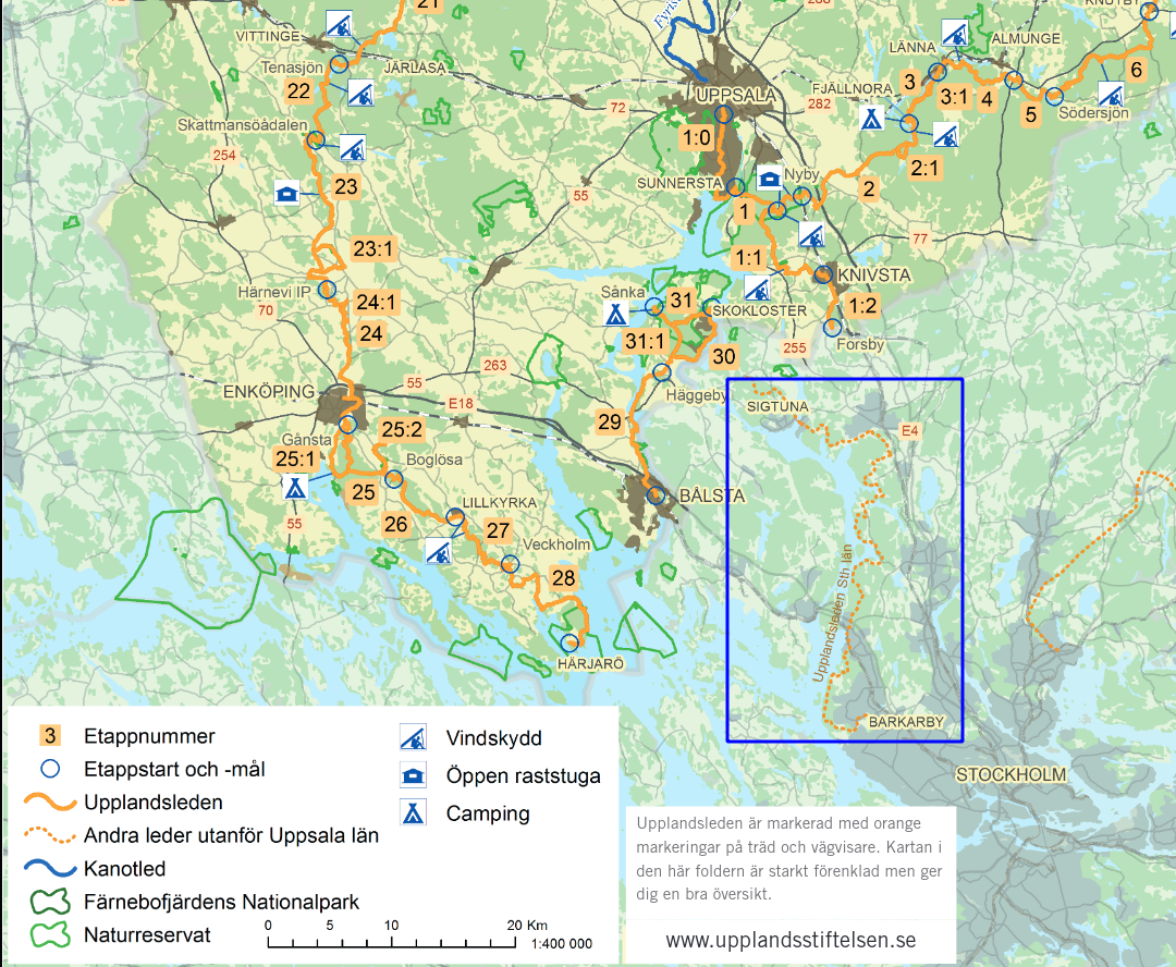
I’ve done my best to collect the route (Barkaby to Sigtuna) and add it to Strava routes, which can be exported to gpx and tcx files. I hope this helps someone else out!
Kommune kartarna
You can track most of Upplandsleden through the municipality maps – you may need to enable the correct filter, as this differs per map.
- Järfälla
- Upplands Väsby
- Sigtuna
- Knivsta (couldn’t find this one)
Traditional (?) etappes/stages
Vandringstjejen.se (posts seem to be replicated at Utsidan.se, for example Vandring på Upplandsleden (Stockholmsdelen) – Barkarby till Kallhäll) has put together an overview of most sections, with scans of the maps they were able to find. I’m not sure if these are official stages or if determined by this group, but they’re usually about 20 km and start/end by parking or public transport.
It’s neat to look through their blog posts and scans of the maps, though some of the information is outdated.
Between Sigtuna and Knivsta, the route becomes sketchy – as noted, it seems there is a private landowner. Either way, I wasn’t able to figure out that section of the route.
My stages
I planned for about 10 km per stage, starting at places that are easily accessible by public transport and/or car. If you’d like a longer day, you can combine two stages together.
I tried to figure out the section around Alby, Pilbo, etc., but the different maps didn’t match what I could find today. For that reason, I’ve decided to end “my” Upplandsleden at Sigtuna. If you do figure this out, please let me know!
I can say a little bit about the earlier stages, as I’ve walked them before. As I make it through each stage, I’ll add more info and/or a blog post.
Stage 1: Barkaby station > Görvälns/Hummelora parking
Strava map (9.4 km)
Trip details: Friday 2 July 2021
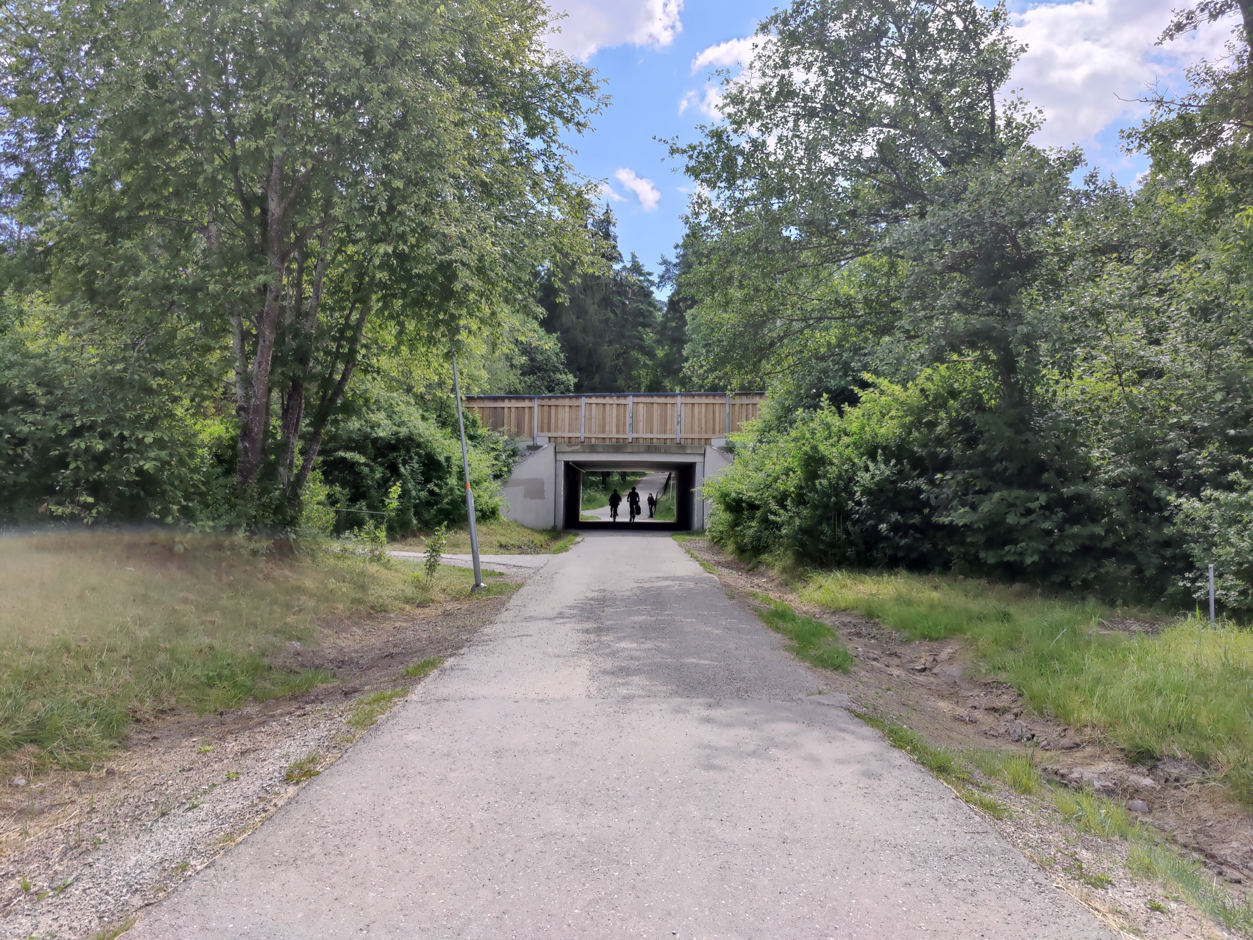
The route starts at Barkaby train station. Tip: you need to walk downstairs and then briefly head north to pick up the correct road. You’ll see the orange markings for Upplandsleden fairly quickly.
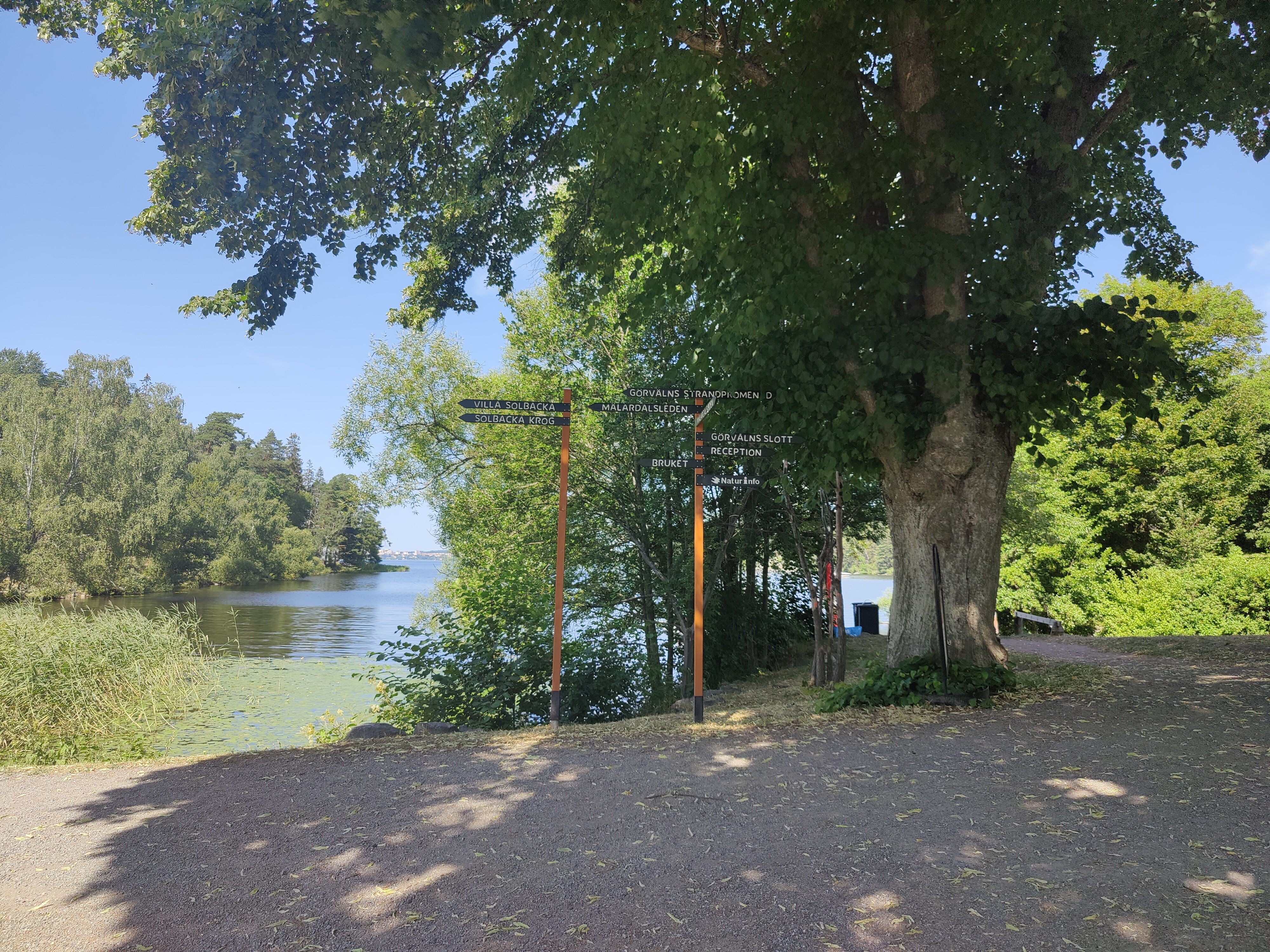
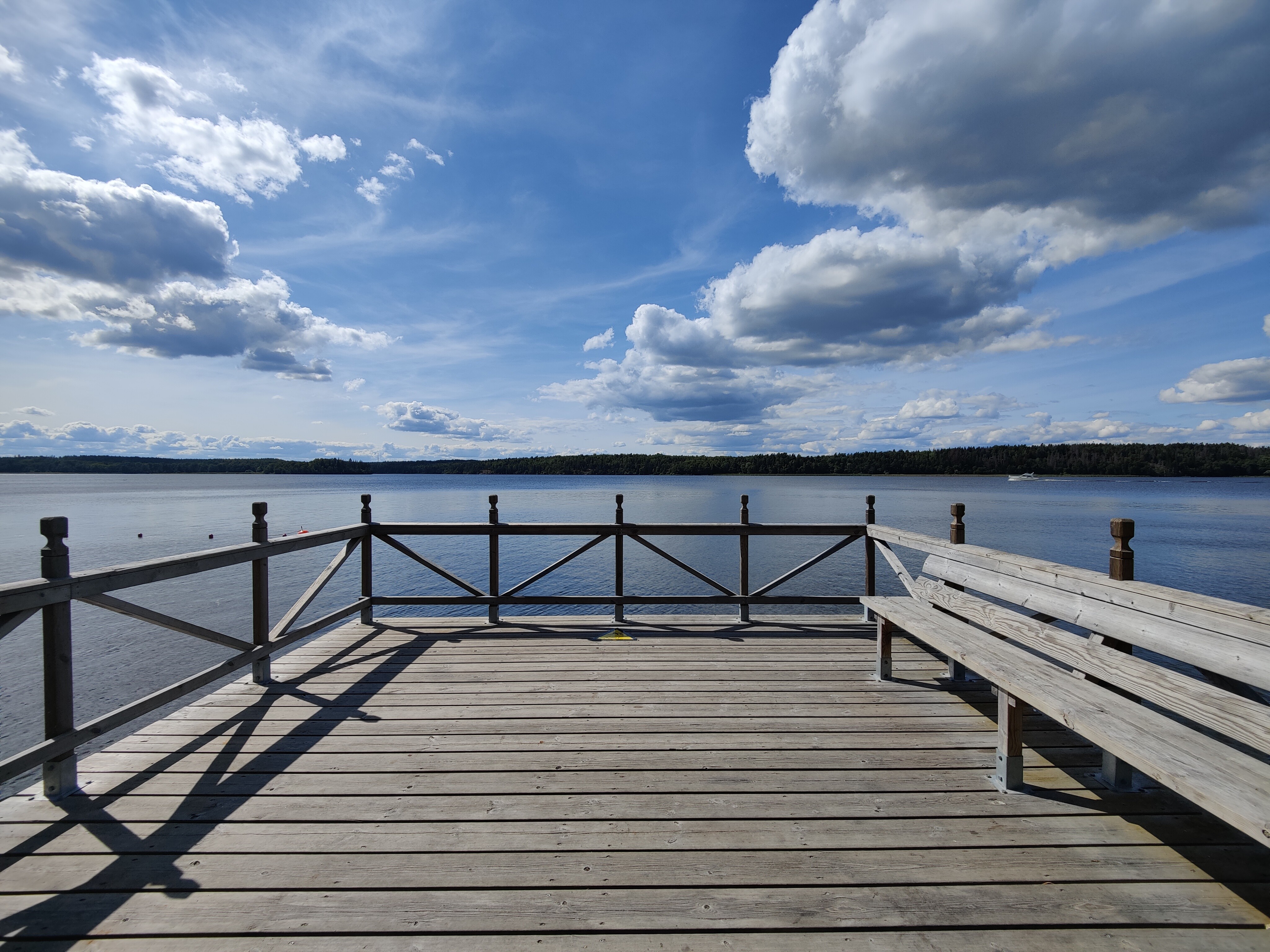
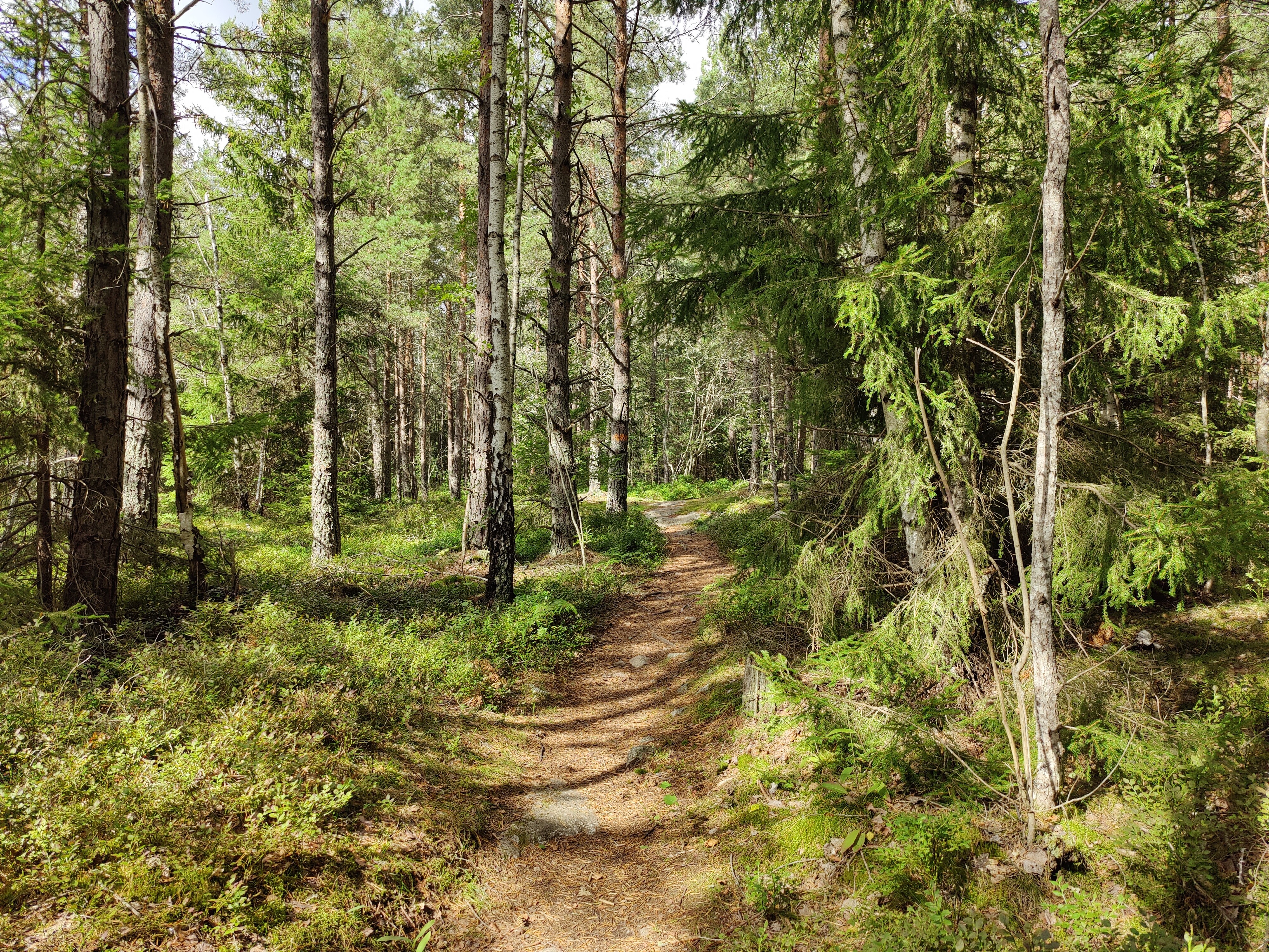
A good portion of this stage goes through Görvälns naturreservat. It’s not on the route, but don’t forget to stop and admire the view at Gåseborg. Right after Gåseborg is a bbq area right off the trail, with a small shelter tucked behind it. Sandviken has a lovely little beach, a pier, and a cooking area with picnic table.
The route ends at Hummelora parking, which is just off the Upplandsleden route.
Stage 2: Görvälns/Hummelora parking > Kallhäll station
Strava map (9.69 km)
Trip details: Saturday 24 July 2021
This will take you up through the rest of Görvälns naturreservat, past Görvälns slott, and then a lovely hilly hike up to Kallhällsbadet. There’s good parking there, or you can continue just a little further to Kallhäll station.
Stage 3: Kallhäll station > Harva
Strava map (11.6 km)
Trip details: Friday 6 August 2021
This section goes from Kallhäll station, past Stäket, and then up to Ängsjö friluftsgård. The road to Ängsjö friluftsgård is narrow and only accessible from one place, so I chose not to stop here, but to continue to into Upplands Väsby. There’s a small parking area just before Harvavägen meets Runsavägen.
Stage 4: Harva to Runsa

Strava map (8.18 km)
Trip details: Sunday 8 August 2021
This is a shorter section, but it has a lot of elevation gains. You could make a side trip to Runsaborg (Strava map) – this section ends at the parking for Runsaborg.
Stage 5: Runsa to Steninge Slott

Strava map (10.64 km)
Trip details: Tuesday 11 August 2021
I had originally planned to end this section at Rosersbergs Slott, but it didn’t work out well with the previous section – it all either became too long or too short. Rosersbergs Slott is a good stopping point, with parking and Roserbergs station a few km away, but I went with Steninge Slott for the good parking lot and better distance.
Stage 6: Steninge Slott to Sigtuna
Strava map (8.42 km)
Trip details: Saturday 21 August 2021
Following the typical Upplandsleden (Stockholm) maps, this route would stay to the north east of Sigtuna and go past Viby Kloster. After that, the route gets hazy, so I opted to end at Sigtuna Stadspark instead.
Interested in the rest of Upplandsleden?
If you want to know more about the other parts of Upplandsleden, I can recommend the Upplandsstiftelsen site. I also found the Calazo Vandra Upplandsleden book helpful for a description of each stage.

Beautiful.
Where I grew up, in Järna, Sörmlandsleden was passing by some 100 meters away. Those orange marks on rocks and around pines are strongly connected to my childhood.
LikeLiked by 1 person
I love that Sormlandsleden and Upplandsleden both use orange markers – it’s like a continuation of the same route, just with Stockholm in the middle.
Thanks for the comment, by the way. It’s good encouragement to go do the walks and share photos! 🙂
LikeLike
[…] Upplandsleden route info (Stockholm) for the stage […]
LikeLike
[…] out Upplandsleden route info (Stockholm) for the full […]
LikeLike
[…] part three of the Upplandsleden (Stockholm section), I walked from the north to the south – this was purely due to logistics of being able to get […]
LikeLike
[…] concludes part four of the Upplandsleden (Stockholm) trip! See Upplandsleden route info (Stockholm) for the full […]
LikeLike
[…] concludes part five of the Upplandsleden (Stockholm) trip! See Upplandsleden route info (Stockholm) for the full […]
LikeLike
[…] concludes part six and the end of the Upplandsleden (Stockholm) trip! See Upplandsleden route info (Stockholm) for the full overview. Thank you for joining me for six mil or 60+ km of wandering through the […]
LikeLike